

UMass Du Bois Library
As one of the most recognizable landmarks on the University of Massachusetts Amherst campus, the W.E.B. Du Bois Library serves as a central hub for learning, research, and student activity. Rising 26 stories above campus, the library combines large-scale academic spaces with study areas, offices, storage zones, and complex support infrastructure—all requiring a high level of accuracy for future planning and facility management.
Accurate documentation
for an active academic landmark.
The W.E.B. Du Bois Library required a comprehensive existing conditions package that could support future renovations while accommodating one of the university's busiest academic buildings. PointKnown documented the facility with precise reality capture and organized the information into design-ready deliverables for the project team.
Beyond measured geometry, the documentation established a dependable foundation for planning within a complex, occupied building. Accurate floor layouts, architectural features, and coordinated model data allowed architects and consultants to evaluate existing conditions confidently before design work began.
Large facilities demand a complete understanding of existing conditions.
Accurate documentation goes beyond capturing individual rooms. A coordinated existing conditions model gives the project team a clear understanding of floor layouts, building systems, circulation, and architectural context—providing a reliable foundation for renovation and future planning.
Existing conditions organized for renovation planning.
The W.E.B. Du Bois Library was documented through a coordinated workflow that transformed complex field conditions into organized, design-ready deliverables. Every output was structured to help architects and consultants evaluate the building confidently before renovation work began.
Capture
Comprehensive reality capture documented the library's architectural spaces, structural conditions, circulation areas, and existing features with the accuracy required for future design work.
Translate
Field data was converted into coordinated Revit models, CAD drawings, and supporting documentation, giving the project team dependable information that was easy to navigate and review.
Deliver
Organized digital deliverables provided architects and consultants with a reliable existing conditions package, reducing uncertainty and helping the next phase of the project move forward with confidence.
Existing conditions documented for complex academic infrastructure
A comprehensive documentation package capturing the library’s vertical organization, architectural systems, and campus context — providing future teams with a reliable foundation for planning, renovation, and design coordination.
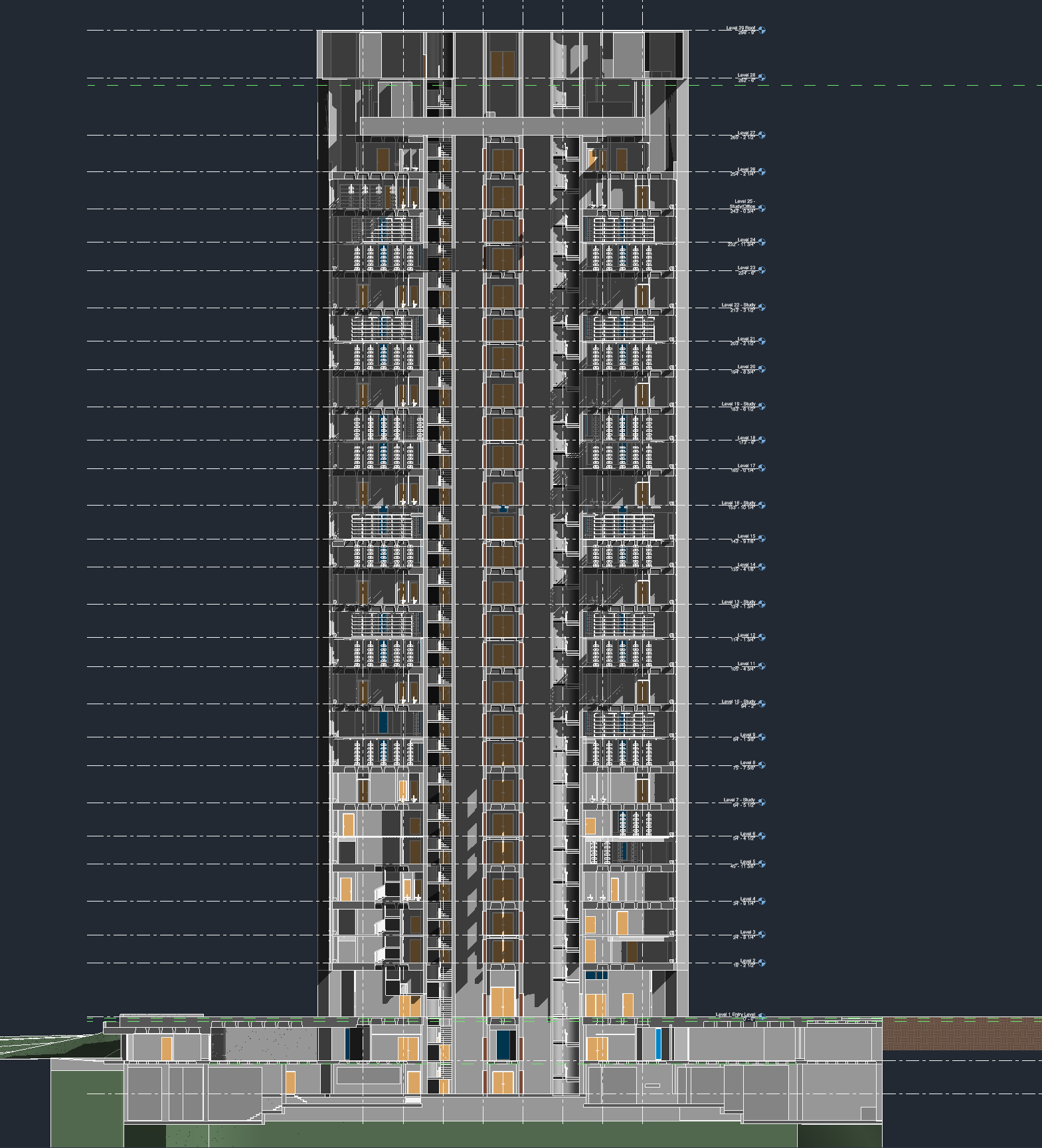
Vertical conditions captured with precision
Building sections communicate floor-to-floor relationships, repeated structural systems, vertical circulation, and the complex stacking conditions of a multi-story academic facility.
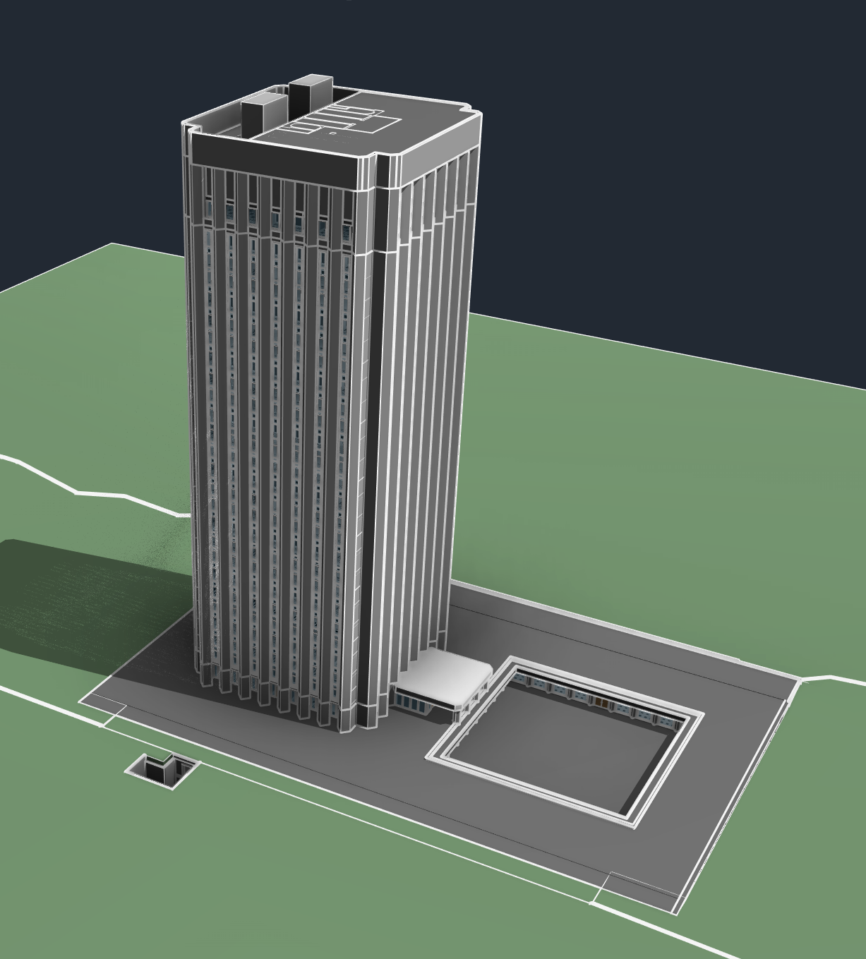
A coordinated digital baseline
The Revit model provides a reliable existing conditions foundation, capturing the tower, podium, courtyard relationships, and exterior geometry for future design coordination.
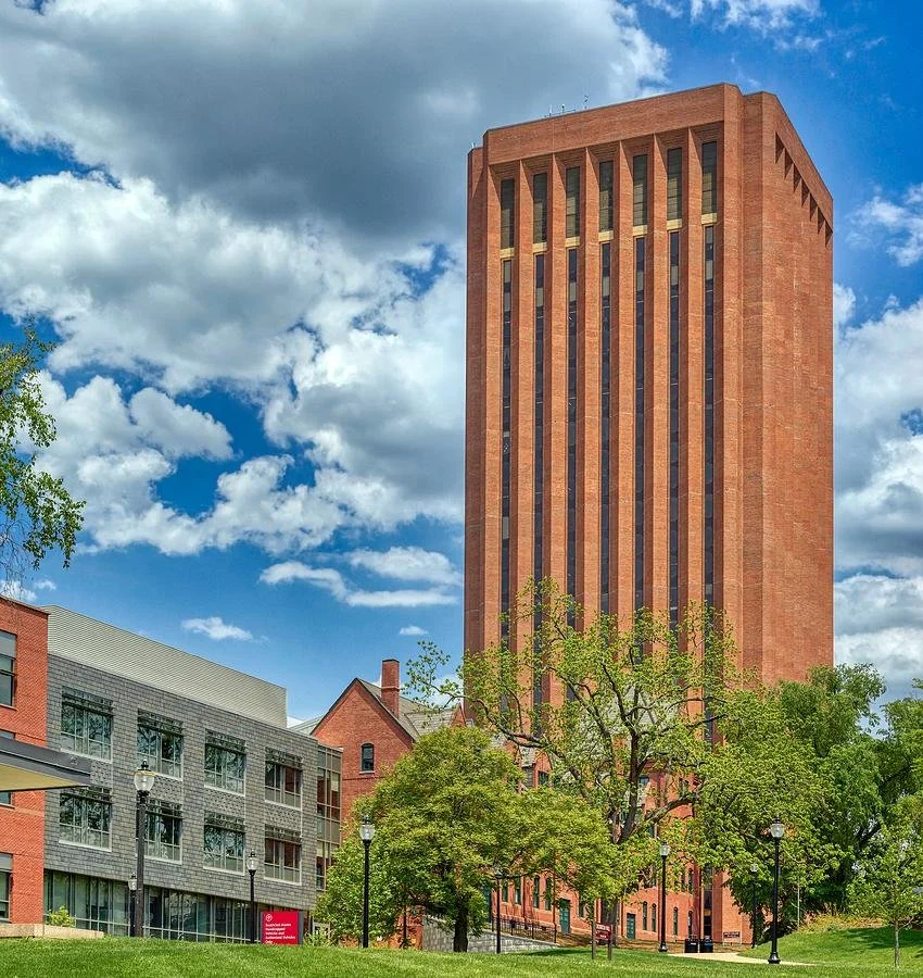
Documenting a campus landmark
A highly recognizable university tower required accurate capture of its architectural rhythm, scale, and relationship to the surrounding campus environment.
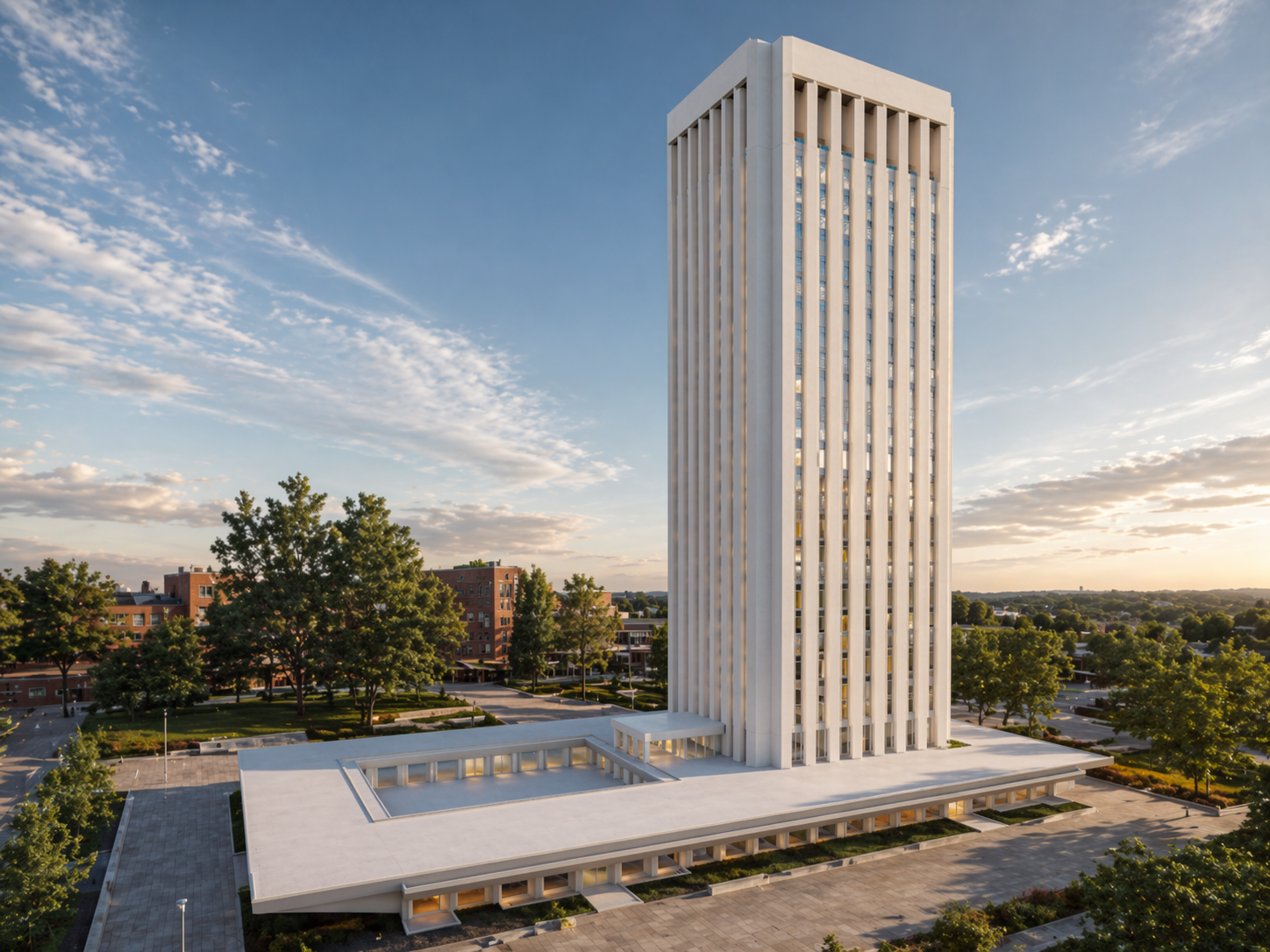
Turning existing conditions into usable insight
Digital visualization transforms field documentation into an accessible reference, helping teams understand massing, organization, and building relationships before design decisions begin.
Understanding a complex academic building before planning begins
Large institutional projects require more than measurements. Existing-conditions documentation creates a coordinated understanding of building geometry, vertical organization, and architectural relationships so future teams can evaluate options, constraints, and improvements with confidence.
The challenge is not only documenting the building. It is creating clarity across every system.
A large academic facility contains layers of information that must work together — from floor plates and circulation paths to exterior geometry and campus relationships. A coordinated capture process transforms those existing conditions into reliable information that supports better decisions throughout planning, design, and renovation.
Everything the project team needs to understand the building
The value is not one file type. The value is a coordinated documentation package: measured geometry, digital models, technical drawings, and visual references organized into a reliable foundation for understanding a complex academic facility and supporting future planning, coordination, and design decisions.
Revit Existing Conditions Model
A coordinated BIM model capturing the library’s existing geometry, building organization, and exterior conditions to support future planning and design coordination.
SketchUp Visual Model
A flexible 3D model that helps teams quickly understand overall massing, architectural relationships, and the building’s role within the surrounding campus environment.
CAD + PDF Documentation
Organized drawing outputs provide accessible references for reviewing plans, sections, and existing conditions throughout future project phases.
Building Sections + Model Views
Detailed sections and visual views communicate vertical organization, floor relationships, and the complexity of a multi-story academic building.
Coordinated Existing Conditions Package
A complete digital reference gives architects, consultants, and stakeholders a shared understanding of the building before future decisions are made.
Experience shows up in the handoff
The best documentation teams do not simply collect data. They know what matters, what to ignore, what to model, what to share, and how to package it so the next team can work.
We scope for the decision ahead
Each capture effort is shaped around what the client, architect, consultants, and builder need to understand next.
We know the deliverable ecosystem
Revit, CAD, SketchUp, PDF, drone media, 360 photography, and shared file structures all play different roles.
We make complex properties easier to communicate
The goal is not to show every piece of data. The goal is to make the right information accessible, clear, and usable.
If you are planning, renovating, leasing, or evaluating a building, clear existing conditions matter.
Pointknown helps design teams and property stakeholders move forward with confidence by turning existing buildings into usable, decision-ready information.