

The EcoTarium
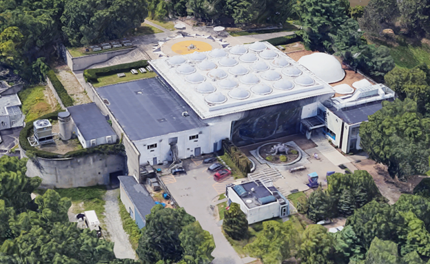
Pointknown documented EcoTarium, a science and nature museum set on a 60-acre site along Harrington Way in Worcester, Massachusetts. The project involved capturing and modeling the full facility—spanning exhibition spaces, classrooms, and surrounding site elements—to create a comprehensive digital foundation for planning, documentation, and future improvements.
Originally founded in 1825 as the Worcester Lyceum of Natural History, the institution has evolved over nearly two centuries. The current campus, completed in 1971, was designed by renowned architect Edward Durell Stone and built on donated land. Over time, the organization transitioned through several identities—from the Worcester Science Center to the New England Science Center—before becoming the EcoTarium, reflecting its broader mission of science education and environmental engagement.
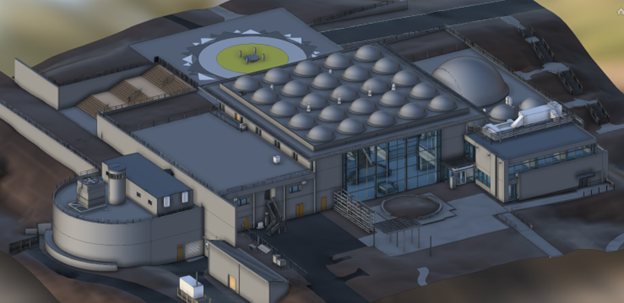
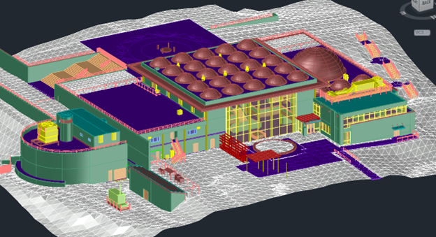
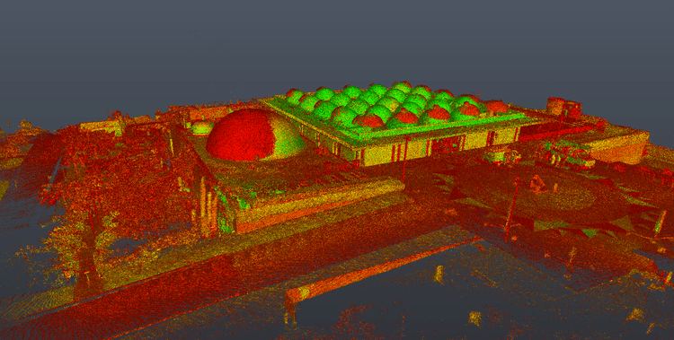
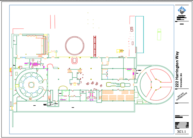
A complete existing conditions package, from reality capture to usable deliverables.
This project combined SLAM laser scanning, tripod-based LiDAR, drone photogrammetry, and 360° media capture to document both building geometry and site context. Pointknown also donated a significant portion of its labor in support of the institution, contributing to a high-quality digital record that supports education, preservation, and future development.


The value is not in the scan itself. It is in what your team can do next.
Design-ready deliverables
Measured information is structured into clean Revit and CAD outputs so architects, owners, and developers can move quickly.
Clear communication
Pointknown focuses on clarity. The process stays in the background. The usable result stays front and center.
One source of truth
A single field effort supports visualization, planning, modeling, and documentation—without repeated site visits or fragmented information.
If you are planning, renovating, leasing, or evaluating a building, clear existing conditions matter.
Pointknown helps design teams and property stakeholders move forward with confidence by turning existing buildings into usable, decision-ready information.