

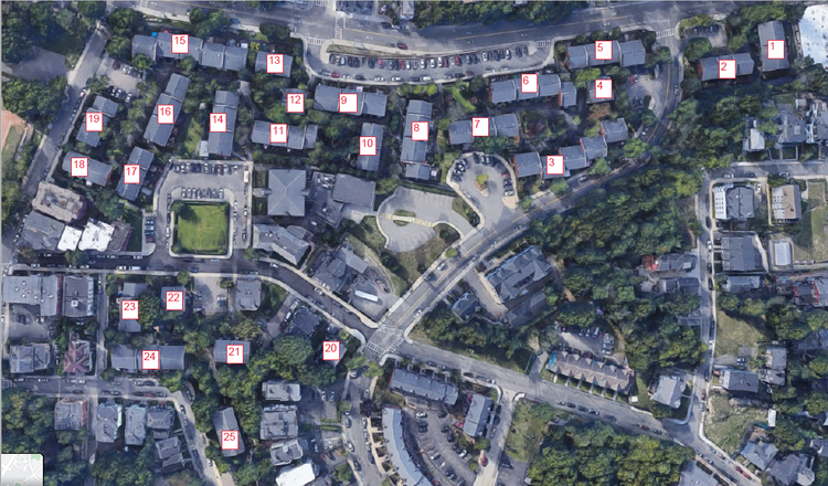
St. Joseph Community
Pointknown documented the St. Joseph Community, a multi-building residential development spanning over 10 acres in Roxbury, Massachusetts. Comprising more than 25 buildings, the project focused on capturing accurate existing conditions across the entire community to support documentation, planning, and future improvements. The goal was to create a coordinated digital baseline across a large, occupied residential site with multiple stakeholders.
Built in 1969, St. Joseph’s Community is a cooperative housing development designed to provide shared ownership opportunities for its residents. The community is characterized by its 2½-story townhomes, landscaped surroundings, and strong neighborhood identity. Over time, it has become a culturally diverse and well-established residential enclave within Roxbury, reflecting both its architectural consistency and community-focused design.
A complete existing conditions package, from reality capture to usable deliverables.
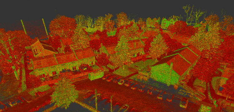
This project utilized SLAM-based laser scanning, supported by 360° documentation and coordinated data registration, to efficiently capture a large, occupied residential community. The result is a cohesive digital record of over 25 buildings—delivered with minimal disruption to residents and structured for immediate use in design and planning.


The value is not in the scan itself. It is in what your team can do next.
Design-ready deliverables
Measured information is structured into clean Revit and CAD outputs so architects, owners, and developers can move quickly.
Clear communication
Pointknown focuses on clarity. The process stays in the background. The usable result stays front and center.
One source of truth
A single field effort supports visualization, planning, modeling, and documentation—without repeated site visits or fragmented information.
If you are planning, renovating, leasing, or evaluating a building, clear existing conditions matter.
Pointknown helps design teams and property stakeholders move forward with confidence by turning existing buildings into usable, decision-ready information.