

Sherborn
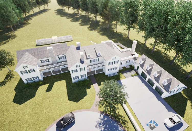
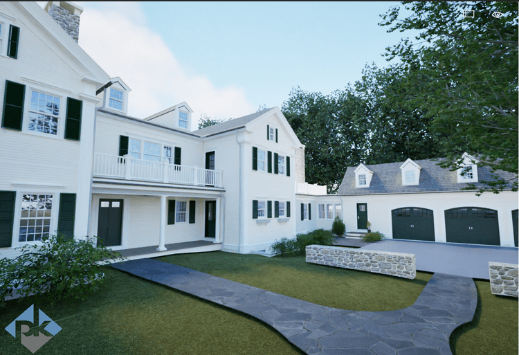
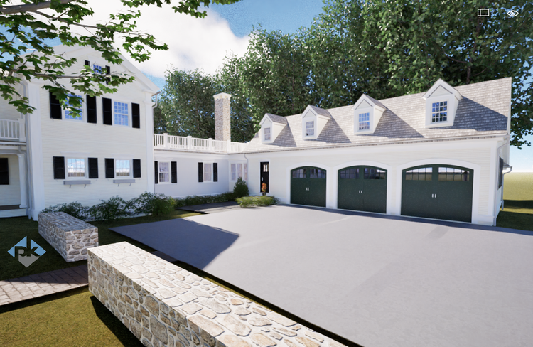
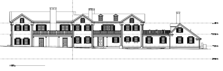
Pointknown documented a historic estate in Sherborn, Massachusetts, set on over nine acres overlooking Farm Pond. Centered around a 16-room antique home dating to circa 1763, the property includes a caretaker’s residence, multiple barns and outbuildings, paddocks, a workshop, kennel, boathouse, and private waterfront. The goal was to capture and model every structure and site element to create a precise digital twin supporting restoration, renovation, and long-term planning.
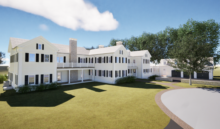
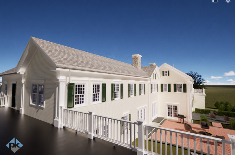
The main residence, originally constructed in the mid-18th century, reflects traditional New England craftsmanship, including post-and-beam framing, fieldstone foundations, and layered additions over time. Properties like this evolved alongside the region’s agricultural and rural history, with barns, paddocks, and supporting structures added to serve working estate functions. Today, the property stands as a representation of early American building techniques adapted across generations.
A complete existing conditions package, from reality capture to usable deliverables.
This project combined terrestrial LiDAR, mobile SLAM scanning, drone photogrammetry, and 360° documentation to create a comprehensive digital twin of the entire estate. From 18th-century timber framing to waterfront site conditions, every element was captured and aligned into a unified dataset—delivering a high-fidelity, design-ready model that supports both preservation and future development.


The value is not in the scan itself. It is in what your team can do next.
Design-ready deliverables
Measured information is structured into clean Revit and CAD outputs so architects, owners, and developers can move quickly.
Clear communication
Pointknown focuses on clarity. The process stays in the background. The usable result stays front and center.
One source of truth
A single field effort supports visualization, planning, modeling, and documentation—without repeated site visits or fragmented information.
If you are planning, renovating, leasing, or evaluating a building, clear existing conditions matter.
Pointknown helps design teams and property stakeholders move forward with confidence by turning existing buildings into usable, decision-ready information.