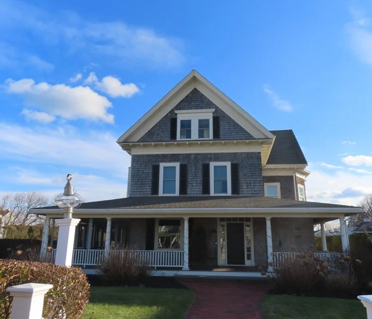
SCITUATE · MASSACHUSETTS

Scituate MA

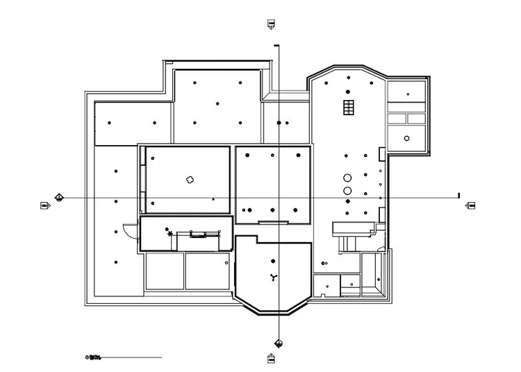
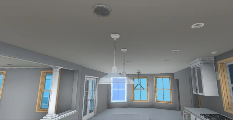
In Scituate, MA, Pointknown documented a South Shore seaside residence in the Minot neighborhood, capturing both the main home and its surrounding site features. The project focused on creating a complete digital representation to support renovation and design planning.

South Shore Seaside Home
Revit Model
Project Type
Residential
Deliverables
Revit Model
Location
Scituate, MA
Use Case
Renovation & Planning
Measured once. Delivered ready for design.
What was documented
Our team scanned both the interior and exterior of the residence and adjacent pool house using mobile LiDAR technology. Drone flights conducted in a double-grid pattern captured roof geometry, site layout, and surrounding landscape conditions. Interior layouts, reflected ceiling plans, architectural geometry, and outdoor features were all integrated into a unified digital dataset.
What was delivered
Pointknown delivered a coordinated Revit model of the property, including the residence, pool house, pool area, and site context. The model incorporated detailed floor layouts and reflected ceiling plan information, providing architects and consultants with accurate existing-conditions documentation ready for downstream design workflows.
Why it matters
Coastal residential properties often involve interconnected structures, outdoor amenities, and layered site conditions that require precise coordination. By combining mobile scanning and drone-based reality capture, Pointknown reduced measurement uncertainty and provided the project team with a dependable digital baseline for future planning and renovation work.
PROJECT HIGHLIGHTS

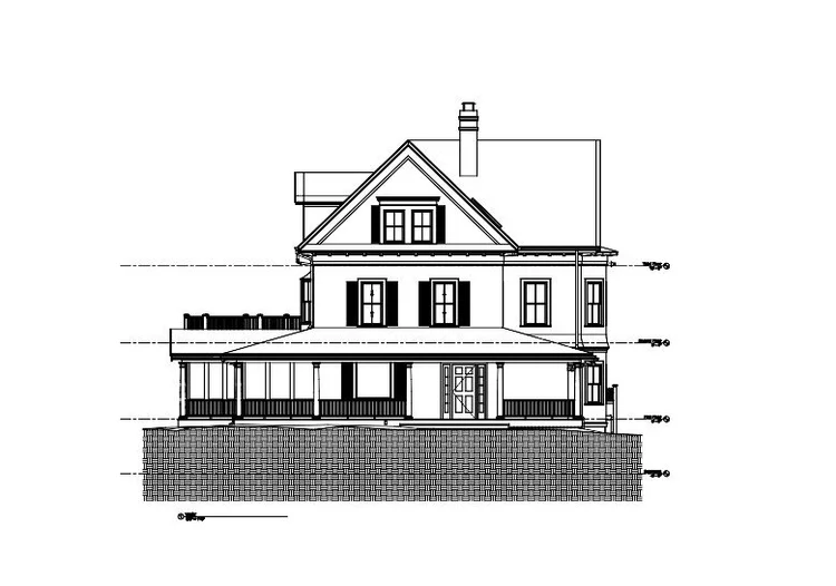
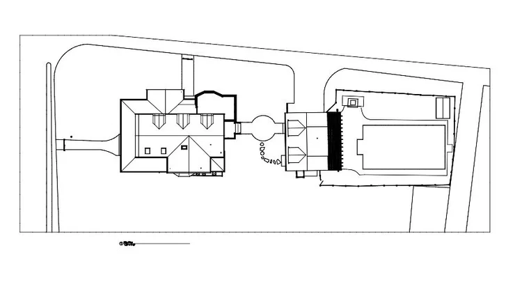
A complete existing conditions package, from reality capture to usable deliverables.

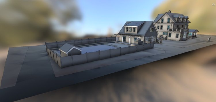
This project highlights the value of integrating architectural and landscape documentation into a single coordinated model. Capturing both buildings alongside the surrounding grounds and pool environment gave the design team a clear understanding of spatial relationships, elevations, and exterior circulation throughout the property.

Project highlight

Project highlight

Project highlight

Project highlight

Project highlight

Project highlight

Project highlight

Project highlight

Project highlight

Project highlight

WHY POINTKNOWN

The value is not in the scan itself. It is in what your team can do next.

Design-ready deliverables

Measured information is structured into clean Revit and CAD outputs so architects, owners, and developers can move quickly.

Clear communication

Pointknown focuses on clarity. The process stays in the background. The usable result stays front and center.

One source of truth

A single field effort supports visualization, planning, modeling, and documentation—without repeated site visits or fragmented information.

Interested in something similar?

If you are planning, renovating, leasing, or evaluating a building, clear existing conditions matter.

Pointknown helps design teams and property stakeholders move forward with confidence by turning existing buildings into usable, decision-ready information.