

Salt Island Road Gloucester
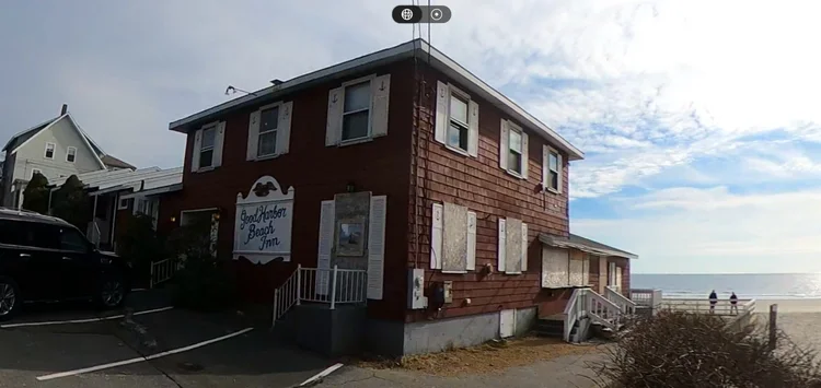
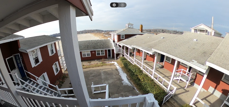
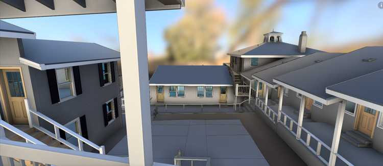
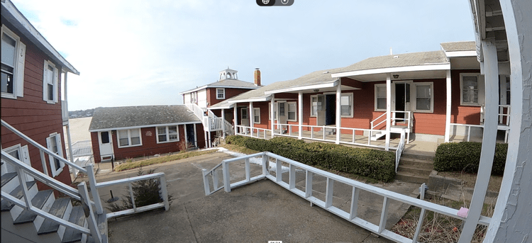
Pointknown was engaged to document an existing inn and motel property along Salt Island Road in Gloucester, Massachusetts. The project required comprehensive existing-conditions documentation across multiple occupied spaces, with accurate digital deliverables to support renovation planning, operational improvements, and future design coordination.
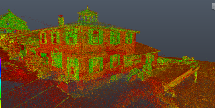
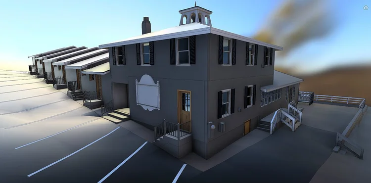
Coordinate and schedule survey work across multiple tenants and stakeholders to minimize disruption during active operations. Capture the entire property using multiple SLAM-based laser scans, then register the datasets into a unified multi-source point cloud covering the full building and site. Supplement the capture with 360° photography, video documentation, drone imagery, and control measurements to ensure accuracy across all areas. Process and align the combined terrestrial and aerial datasets in Autodesk ReCap, then utilize the registered data to develop a comprehensive existing-conditions Revit model.
A complete existing conditions package, from reality capture to usable deliverables.
This project combined multiple reality-capture technologies into one unified workflow, allowing the inn and motel property to be documented quickly and accurately despite operational and logistical complexities. By integrating LiDAR, drone data, and immersive visual documentation, Pointknown created a scalable digital record that supports both immediate planning needs and future project phases.


The value is not in the scan itself. It is in what your team can do next.
Design-ready deliverables
Measured information is structured into clean Revit and CAD outputs so architects, owners, and developers can move quickly.
Clear communication
Pointknown focuses on clarity. The process stays in the background. The usable result stays front and center.
One source of truth
A single field effort supports visualization, planning, modeling, and documentation—without repeated site visits or fragmented information.
If you are planning, renovating, leasing, or evaluating a building, clear existing conditions matter.
Pointknown helps design teams and property stakeholders move forward with confidence by turning existing buildings into usable, decision-ready information.