RIVERDALE BRONX · NEW YORK

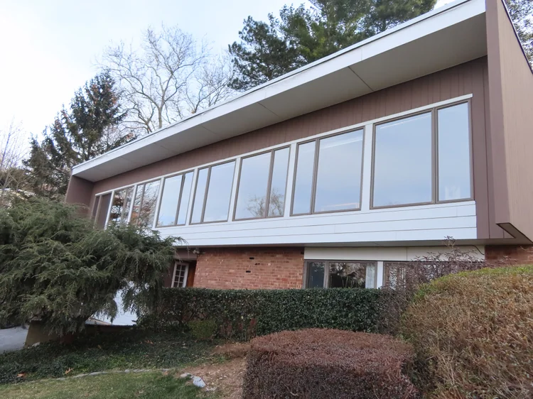
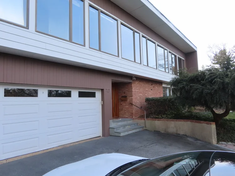
Riverdale Bronx NYC Modern

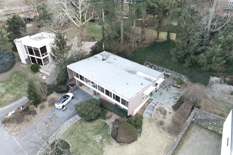
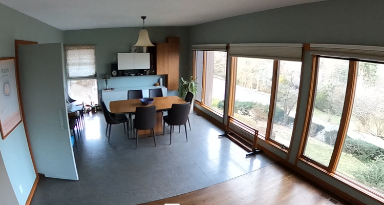
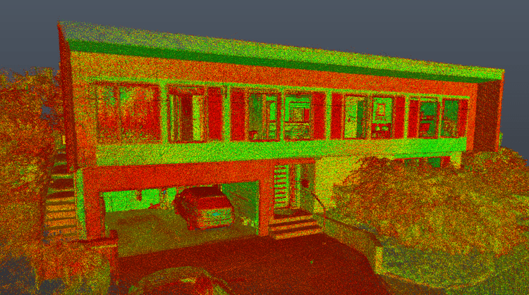
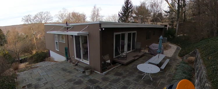
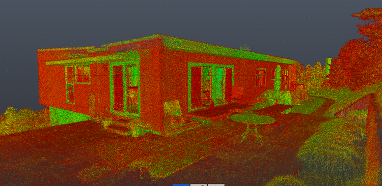
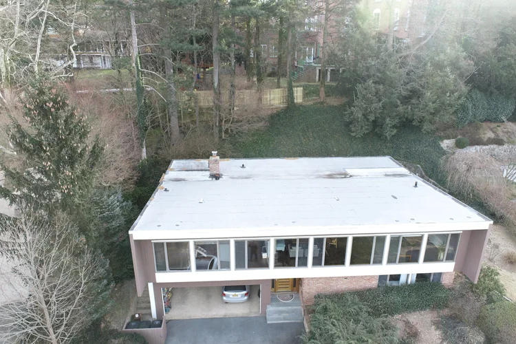
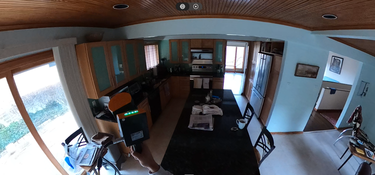
Pointknown was engaged to document a modern residence and surrounding hardscape in the Riverdale neighborhood of Bronx, New York City. The project focused on creating a precise digital representation of the property to support design coordination, renovation planning, and consultant collaboration across multiple platforms.

Residence and Hardscape
3D Capture & Document
Project Type
Residential
Deliverables
Revit Model & Optimize IFC Export for Microstation
Location
Riverdale Bronx, NY
Use Case
Design Coordination, Renovation & Planning
Measured once. Delivered ready for design.
What was documented
The residence, exterior spaces, and surrounding hardscape were captured using a combination of mobile SLAM laser scanning, terrestrial measurements, drone photogrammetry, and 360° visual documentation. Interior geometry, exterior architectural elements, landscape transitions, and site conditions were integrated into a unified dataset for accurate modeling and coordination.
What was delivered
Pointknown delivered a detailed Revit existing-conditions model along with an optimized IFC export prepared for MicroStation workflows. The coordinated dataset provides architects, engineers, and consultants with a reliable digital foundation for planning and future development.
Why it matters
Modern residential projects often rely on close coordination between architectural, structural, and site disciplines. By capturing the property with high-accuracy reality capture technology, the design team gains dependable geometry that reduces assumptions, improves collaboration, and streamlines downstream modeling workflows across different software platforms.
PROJECT HIGHLIGHTS

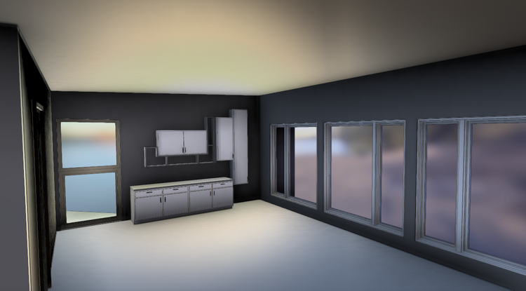
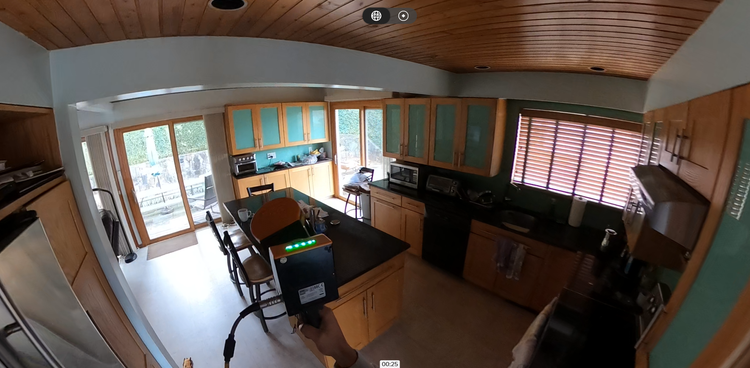
A complete existing conditions package, from reality capture to usable deliverables.

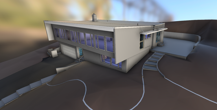
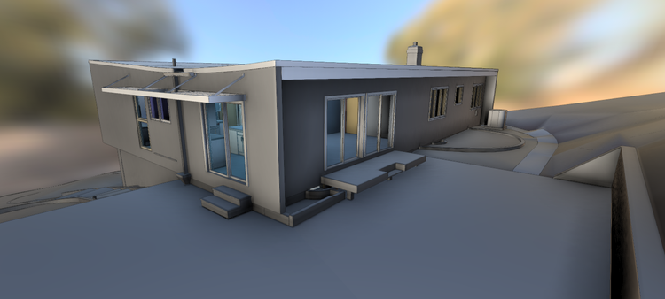
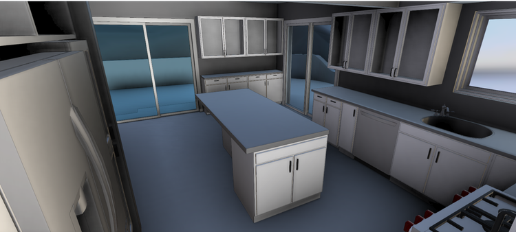
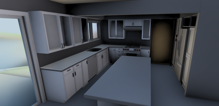
This project demonstrates Pointknown’s ability to bridge multiple digital environments through coordinated reality-capture workflows and optimized interoperability. The combination of LiDAR scanning, aerial mapping, and BIM-ready deliverables created a highly flexible dataset suitable for both Revit- and MicroStation-based project teams.

Project highlight

Project highlight

Project highlight

Project highlight

Project highlight

Project highlight

Project highlight

Project highlight

Project highlight

Project highlight

Project highlight

Project highlight

Project highlight

Project highlight

Project highlight

Project highlight

WHY POINTKNOWN

The value is not in the scan itself. It is in what your team can do next.

Design-ready deliverables

Measured information is structured into clean Revit and CAD outputs so architects, owners, and developers can move quickly.

Clear communication

Pointknown focuses on clarity. The process stays in the background. The usable result stays front and center.

One source of truth

A single field effort supports visualization, planning, modeling, and documentation—without repeated site visits or fragmented information.

Interested in something similar?

If you are planning, renovating, leasing, or evaluating a building, clear existing conditions matter.

Pointknown helps design teams and property stakeholders move forward with confidence by turning existing buildings into usable, decision-ready information.