

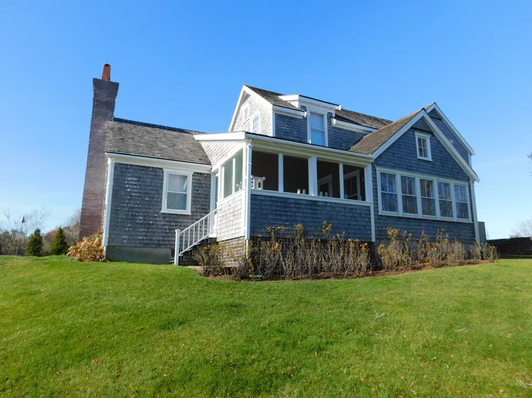
Nantucket MA
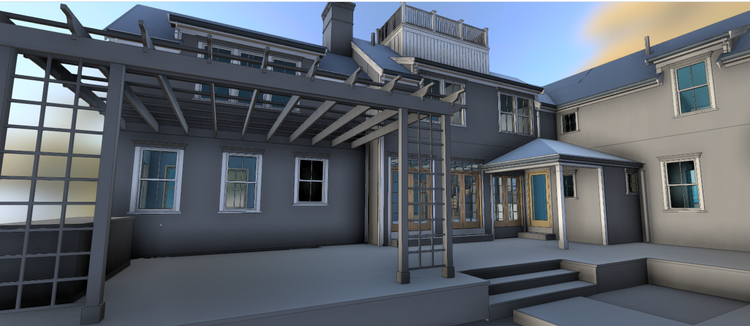
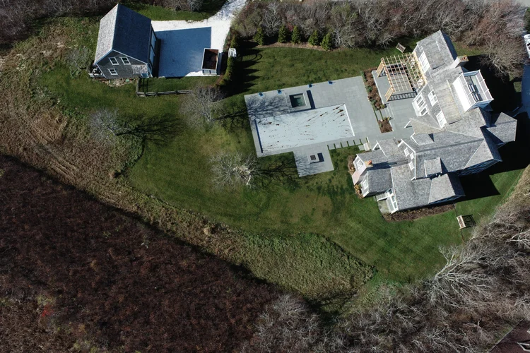
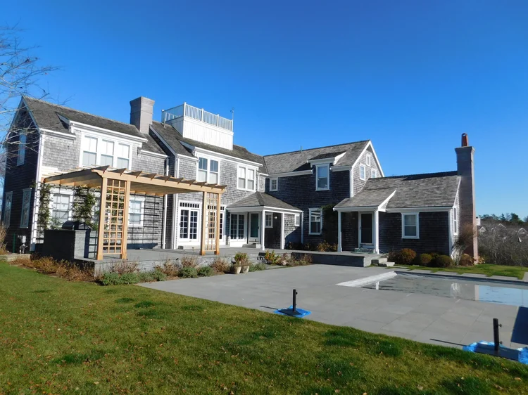
Pointknown was engaged to capture, document, and model a residential property in Nantucket, Massachusetts, creating a precise digital representation of the home to support future planning and design efforts. Using a combination of SLAM laser scanning, drone capture, 360° imagery, and field measurements, our team documented the residence and transformed existing conditions into a coordinated Revit model. The resulting dataset provided a reliable foundation for architects and project teams, reducing uncertainty and enabling more informed design decisions.
A complete existing conditions package, from reality capture to usable deliverables.
This project demonstrates the value of integrating mobile scanning, aerial capture, and immersive documentation into a single coordinated workflow. Capturing the residence and surrounding property together ensured that both architectural detail and broader site relationships were accurately represented in the final digital model.


The value is not in the scan itself. It is in what your team can do next.
Design-ready deliverables
Measured information is structured into clean Revit and CAD outputs so architects, owners, and developers can move quickly.
Clear communication
Pointknown focuses on clarity. The process stays in the background. The usable result stays front and center.
One source of truth
A single field effort supports visualization, planning, modeling, and documentation—without repeated site visits or fragmented information.
If you are planning, renovating, leasing, or evaluating a building, clear existing conditions matter.
Pointknown helps design teams and property stakeholders move forward with confidence by turning existing buildings into usable, decision-ready information.