

Monomoy Nantucket
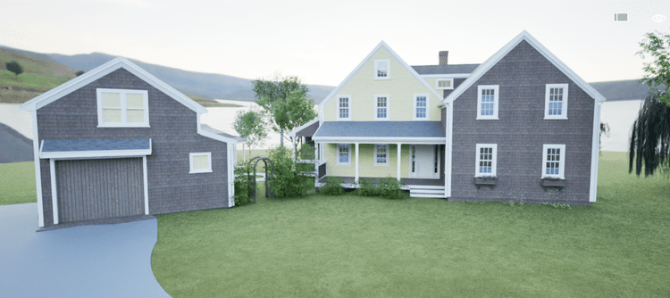
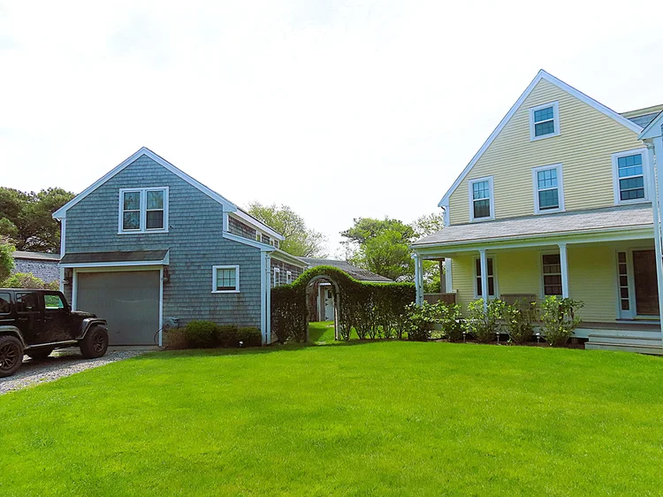
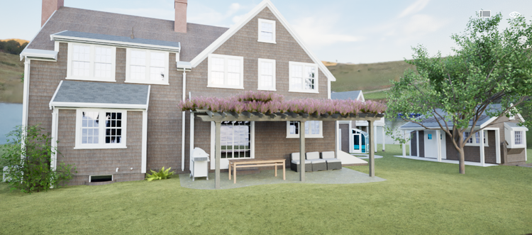
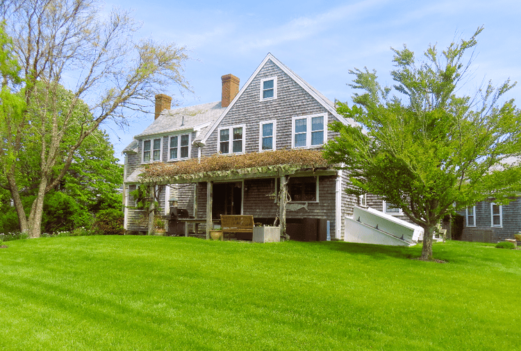
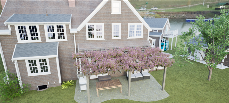
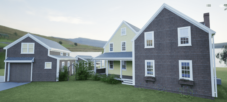
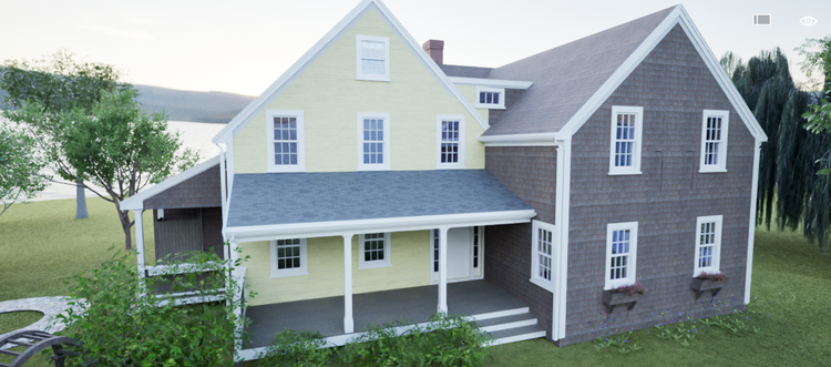
In Monomoy, Nantucket, this waterfront estate blends island character with thoughtful architecture: a main house at the water’s edge, a garage with an apartment above and a small deck overlooking the pond, a greenhouse, and a garden shed. Jeep out front, surf gear in the garage—equal parts lifestyle and legacy.
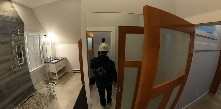
A complete existing conditions package, from reality capture to usable deliverables.
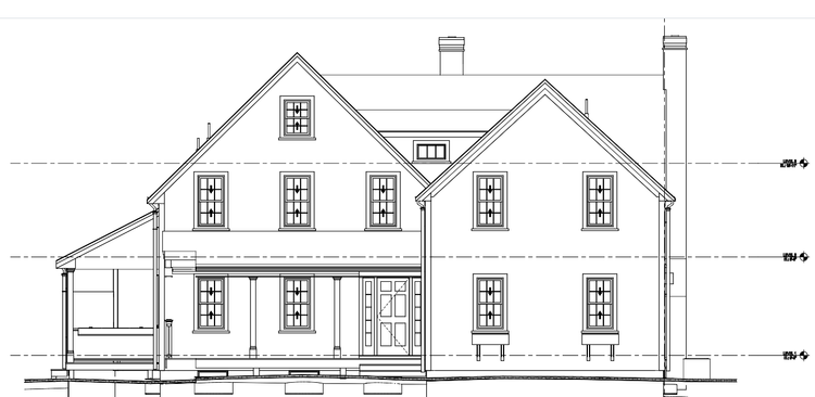
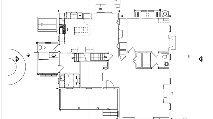
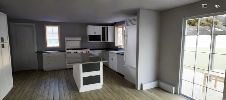
This project unified multiple structures into a single coordinated dataset, ensuring that architectural and landscape elements were understood as one connected system. The shoreline-oriented main house, pond-facing apartment deck, light-filled greenhouse, and contextual garden structures were all captured with precision, supporting design decisions rooted in real site conditions.


The value is not in the scan itself. It is in what your team can do next.
Design-ready deliverables
Measured information is structured into clean Revit and CAD outputs so architects, owners, and developers can move quickly.
Clear communication
Pointknown focuses on clarity. The process stays in the background. The usable result stays front and center.
One source of truth
A single field effort supports visualization, planning, modeling, and documentation—without repeated site visits or fragmented information.
If you are planning, renovating, leasing, or evaluating a building, clear existing conditions matter.
Pointknown helps design teams and property stakeholders move forward with confidence by turning existing buildings into usable, decision-ready information.