

Modern Acton
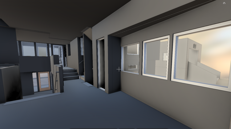
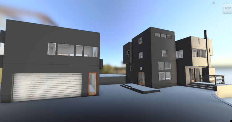
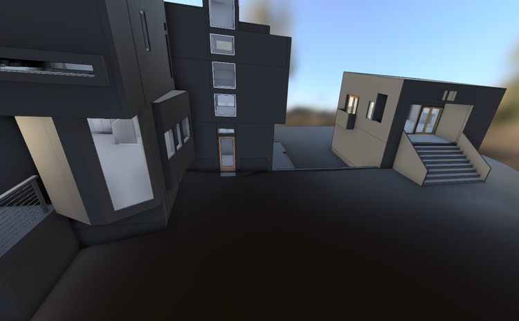
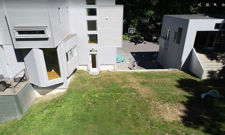
In Acton, MA, Pointknown documented a modern 8,500 GSF property, capturing the full building during active use to support accurate modeling and future design planning. The project focused on translating complex geometry into a precise digital foundation.
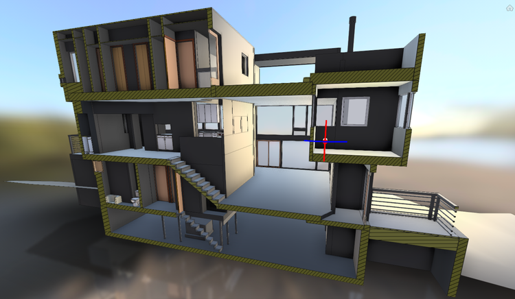
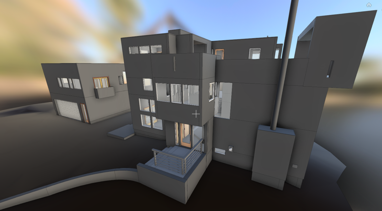
A complete existing conditions package, from reality capture to usable deliverables.
This project demonstrates the effectiveness of combining SLAM scanning with drone-based point cloud integration to document large-scale residential architecture efficiently. Conducting the capture process during active operating hours also required careful coordination to maintain workflow continuity while preserving data accuracy across the site.


The value is not in the scan itself. It is in what your team can do next.
Design-ready deliverables
Measured information is structured into clean Revit and CAD outputs so architects, owners, and developers can move quickly.
Clear communication
Pointknown focuses on clarity. The process stays in the background. The usable result stays front and center.
One source of truth
A single field effort supports visualization, planning, modeling, and documentation—without repeated site visits or fragmented information.
If you are planning, renovating, leasing, or evaluating a building, clear existing conditions matter.
Pointknown helps design teams and property stakeholders move forward with confidence by turning existing buildings into usable, decision-ready information.