

Middletown CT
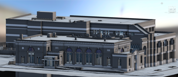
Pointknown was commissioned to support a feasibility study for the City of Middletown in Middletown, Connecticut, evaluating the potential relocation of municipal offices to a more accessible and user-friendly downtown setting. The work focused on scanning, flying, and modeling multiple interconnected buildings along Main Street to create a unified digital dataset for planning analysis.
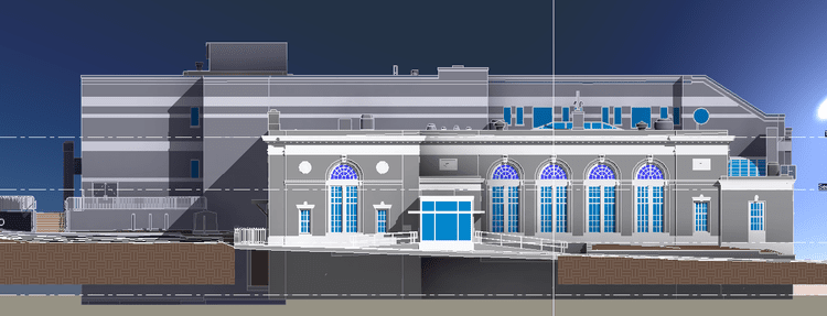
The project area includes the historic Farmers and Mechanics Bank building on Main Street, a landmark dating back to 1920. Originally founded in 1858 to serve local industry workers—including those in nearby brownstone quarries—the bank played an important role in supporting Middletown’s working-class and immigrant communities. Today, the building contributes to the Main Street Historic District, reflecting the city’s layered civic and commercial history.
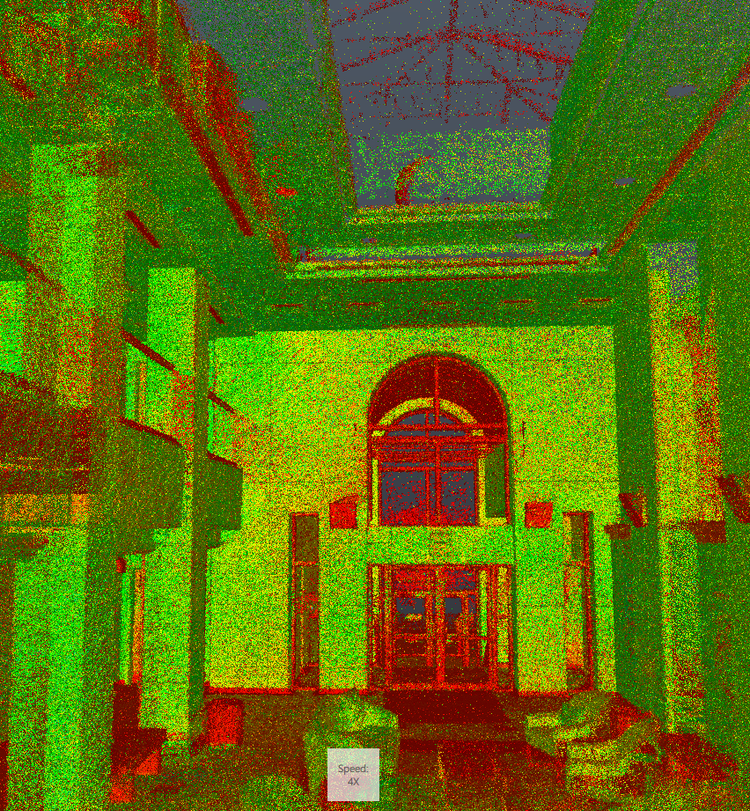
A complete existing conditions package, from reality capture to usable deliverables.
This project demonstrates how reality capture can support civic decision-making at a city scale. By integrating multiple buildings into a single coordinated dataset, the study provides a clear foundation for comparing reuse, relocation, and redevelopment options while preserving the historic context of Main Street.


The value is not in the scan itself. It is in what your team can do next.
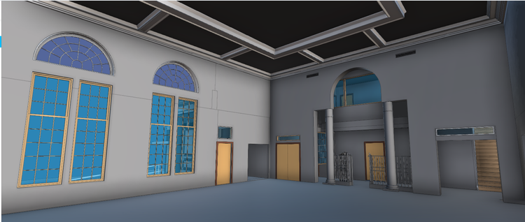
Design-ready deliverables
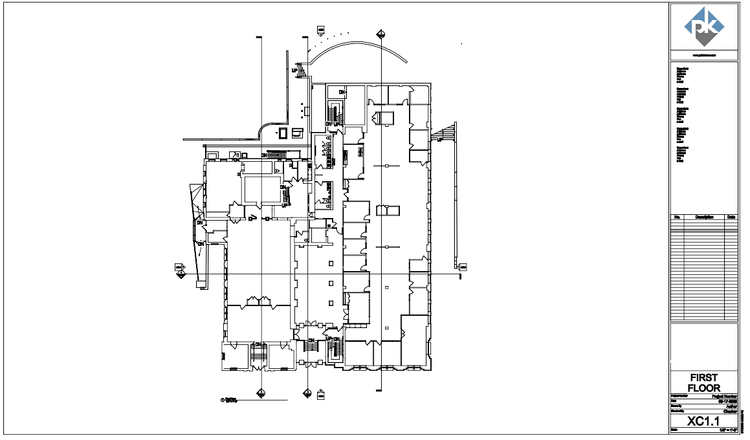
Measured information is structured into clean Revit and CAD outputs so architects, owners, and developers can move quickly.
Clear communication
Pointknown focuses on clarity. The process stays in the background. The usable result stays front and center.
One source of truth
A single field effort supports visualization, planning, modeling, and documentation—without repeated site visits or fragmented information.
If you are planning, renovating, leasing, or evaluating a building, clear existing conditions matter.
Pointknown helps design teams and property stakeholders move forward with confidence by turning existing buildings into usable, decision-ready information.