MIDDLETON · MASSACHUSETTS

Middleton MA

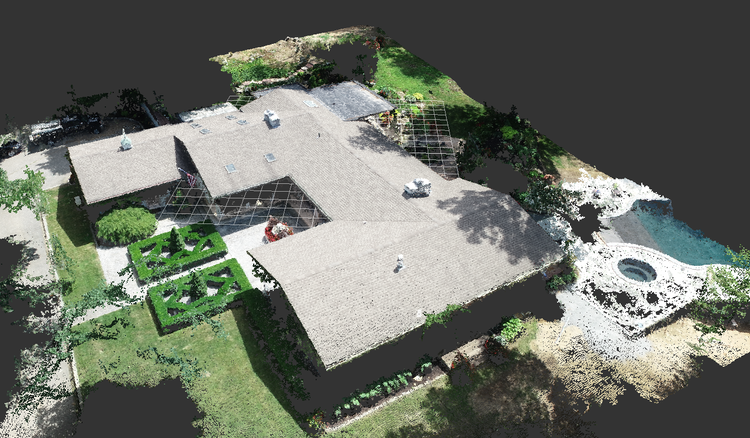
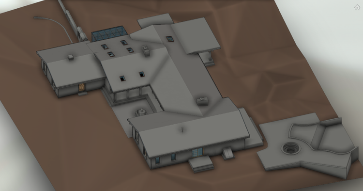
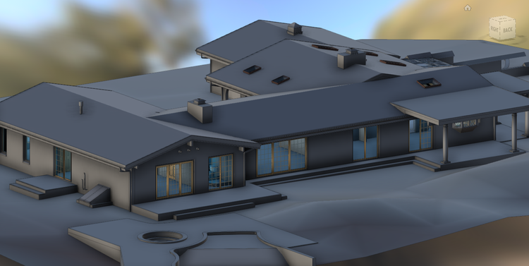
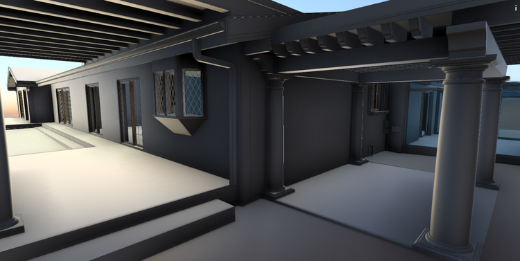
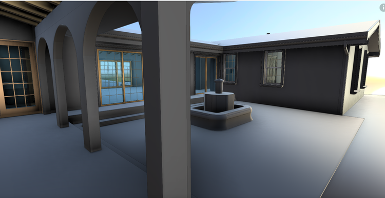
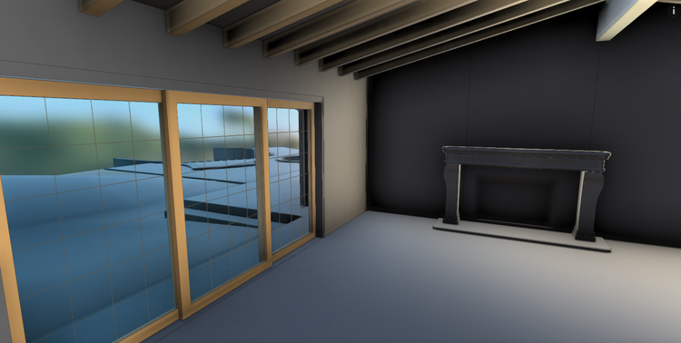
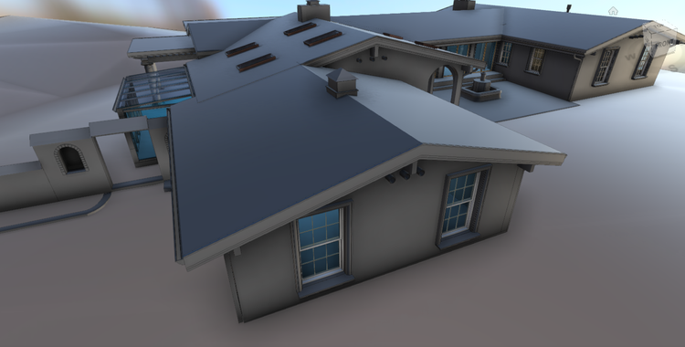
In Middleton, MA, Pointknown documented a private residential property including a 4,500 GSF main house and carriage house. The project focused on creating an accurate digital representation of both structures to support design and planning.

Carriage House
4,500 GSF
Project Type
Residential
Deliverables
Revit + 3D Capture + SLAM
Location
Middleton, MA
Use Case
Renovation & Planning
Measured once. Delivered ready for design.
What was documented
Our team carried out a full-site reality capture using SLAM-based mobile LiDAR scanning combined with drone photogrammetry and controlled field measurements. The workflow captured interior and exterior geometry of both structures, along with site context, circulation paths, and surrounding landscape conditions. Aerial data was also collected to support roof modeling and overall site alignment.
What was delivered
Pointknown delivered a coordinated Revit model representing the main house and carriage house, built directly from registered scan data. The model provides accurate architectural geometry suitable for design development, renovation planning, and construction coordination workflows.
Why it matters
Residential properties with multiple structures require precise coordination between buildings, site conditions, and elevations. By combining multiple capture technologies into a unified dataset, Pointknown created a reliable digital foundation that reduces uncertainty, improves design accuracy, and minimizes the need for repeat site visits.
PROJECT HIGHLIGHTS

A complete existing conditions package, from reality capture to usable deliverables.

This project highlights the efficiency of a hybrid capture workflow in documenting both primary and secondary structures on a single property. The inclusion of drone-based roof capture alongside detailed terrestrial scanning ensured a complete and connected understanding of the site, from interior spaces to overall landscape context.

Project highlight

Project highlight

Project highlight

Project highlight

Project highlight

Project highlight

Project highlight

WHY POINTKNOWN

The value is not in the scan itself. It is in what your team can do next.

Design-ready deliverables

Measured information is structured into clean Revit and CAD outputs so architects, owners, and developers can move quickly.

Clear communication

Pointknown focuses on clarity. The process stays in the background. The usable result stays front and center.

One source of truth

A single field effort supports visualization, planning, modeling, and documentation—without repeated site visits or fragmented information.

Interested in something similar?

If you are planning, renovating, leasing, or evaluating a building, clear existing conditions matter.

Pointknown helps design teams and property stakeholders move forward with confidence by turning existing buildings into usable, decision-ready information.