

Martha's Vineyard
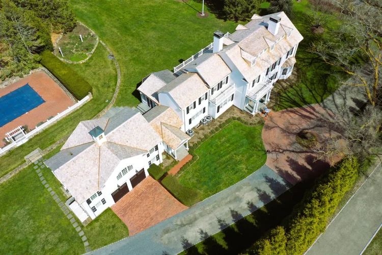
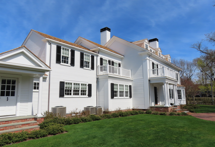
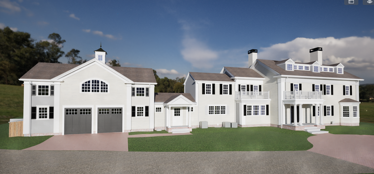
Pointknown provided comprehensive reality capture and building documentation services for a residential property along Pease Point Road. The project focused on creating a precise digital record of the structure and surrounding site to support future renovation planning, architectural design, and long-term property documentation.
Martha’s Vineyard is known for its historic homes, coastal estates, and architecturally distinctive properties that often require careful planning and preservation. In areas like Edgartown, Massachusetts, where historic character and waterfront context play a major role in development, accurate existing-conditions documentation is essential for both renovation and new construction projects.
A complete existing conditions package, from reality capture to usable deliverables.
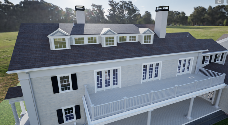
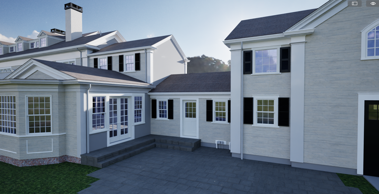
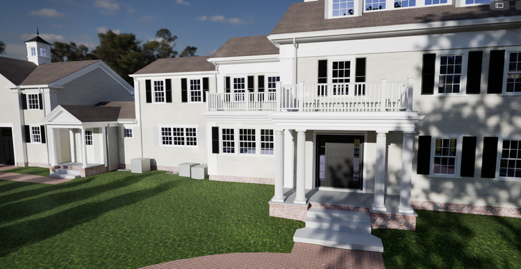
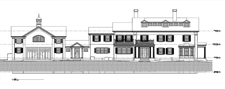
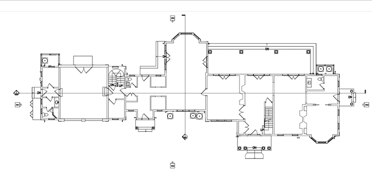
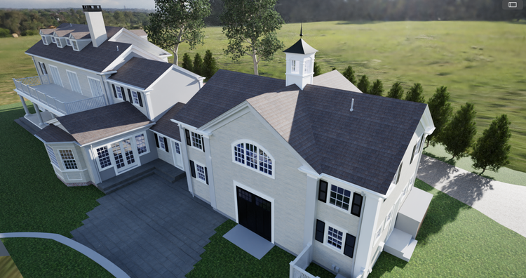
This project combined mobile LiDAR scanning, reality capture workflows, and digital modeling to create a complete, measurable representation of a Martha’s Vineyard property. The resulting digital twin supports renovation planning, visualization, and architectural coordination while preserving accurate existing conditions for future use.
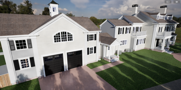
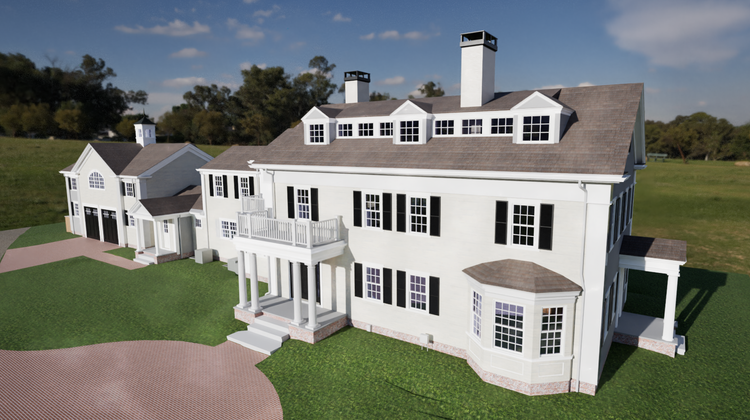
The value is not in the scan itself. It is in what your team can do next.
Design-ready deliverables
Measured information is structured into clean Revit and CAD outputs so architects, owners, and developers can move quickly.
Clear communication
Pointknown focuses on clarity. The process stays in the background. The usable result stays front and center.
One source of truth
A single field effort supports visualization, planning, modeling, and documentation—without repeated site visits or fragmented information.
If you are planning, renovating, leasing, or evaluating a building, clear existing conditions matter.
Pointknown helps design teams and property stakeholders move forward with confidence by turning existing buildings into usable, decision-ready information.