

Lake House Newbury NH
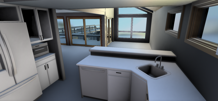
In Newbury, NH, Pointknown documented a lakeside residential property featuring a main house, boathouse, and interconnected outdoor spaces including decks and walkways. The project focused on capturing the full property context to support accurate modeling and future design planning.
Newbury, New Hampshire is a scenic lakeside town located near Lake Sunapee, known for its historic New England character, waterfront homes, and outdoor recreation. Properties throughout the region often blend traditional lake-house architecture with modern additions and site-sensitive design, making accurate existing-conditions documentation especially valuable for renovation and preservation projects.
A complete existing conditions package, from reality capture to usable deliverables.
This project combined terrestrial scanning and drone-based reality capture to document both architectural and landscape features as a unified environment. Capturing the residence, boathouse, walkways, and waterfront setting together provided the design team with a clear understanding of how the structures interact with the surrounding site and lakefront conditions.


The value is not in the scan itself. It is in what your team can do next.
Design-ready deliverables
Measured information is structured into clean Revit and CAD outputs so architects, owners, and developers can move quickly.
Clear communication
Pointknown focuses on clarity. The process stays in the background. The usable result stays front and center.
One source of truth
A single field effort supports visualization, planning, modeling, and documentation—without repeated site visits or fragmented information.
If you are planning, renovating, leasing, or evaluating a building, clear existing conditions matter.
Pointknown helps design teams and property stakeholders move forward with confidence by turning existing buildings into usable, decision-ready information.