

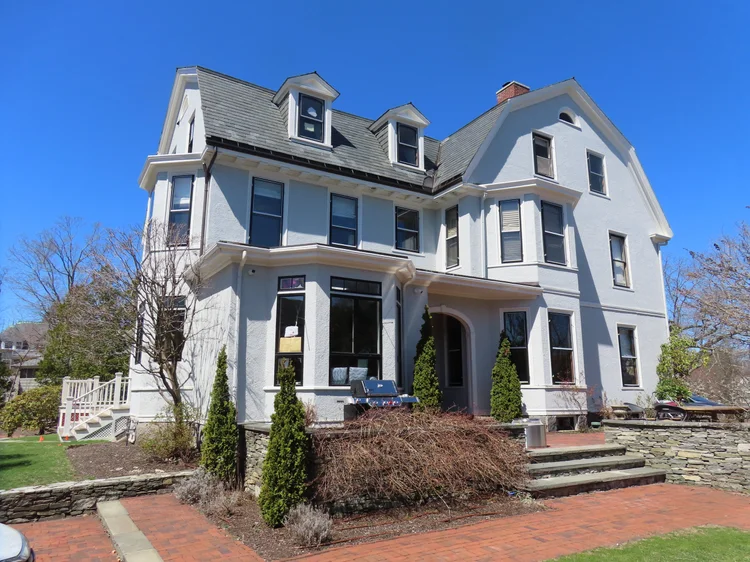
Lake Avenue Project-Newton
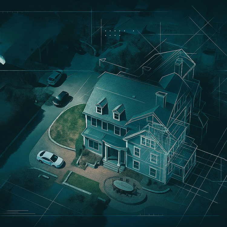
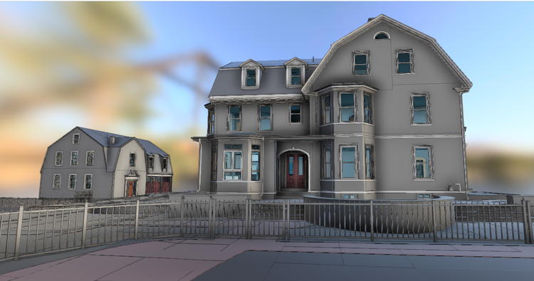
Pointknown provided reality capture and 3D modeling services for a residential renovation project along Lake Avenue in Newton, Massachusetts, near Crystal Lake. The project focused on documenting the home’s exterior and surrounding site to create a precise, design-ready digital foundation for renovation planning, zoning, and construction documentation.
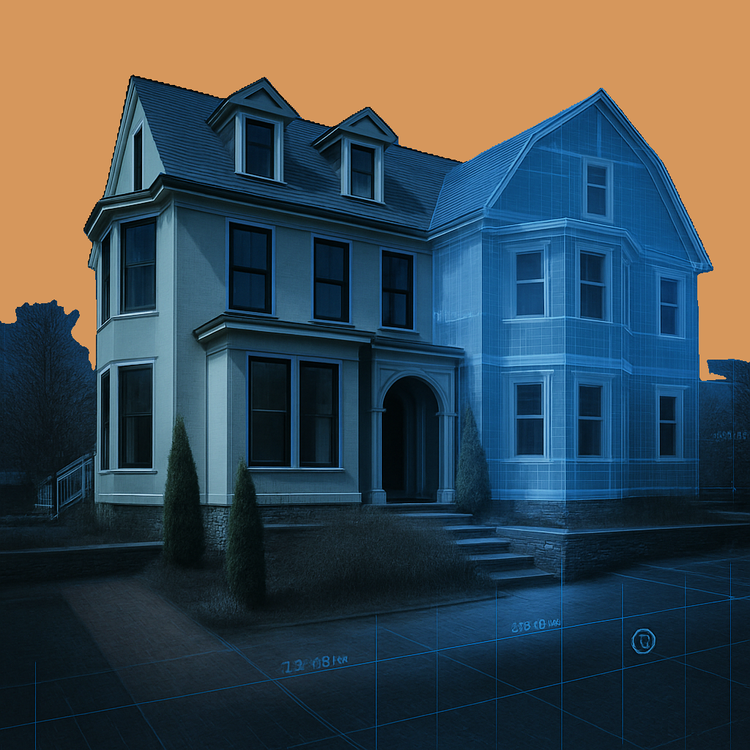
Located within Newton’s Chestnut Hill neighborhood, the Lake Avenue area reflects the city’s legacy as one of America’s early garden suburbs. Developed in the late 19th and early 20th centuries, the neighborhood features a mix of Victorian, Colonial Revival, and Craftsman-style homes. These properties represent a balance between historic character and evolving residential design, making accurate documentation essential for sensitive renovation work.
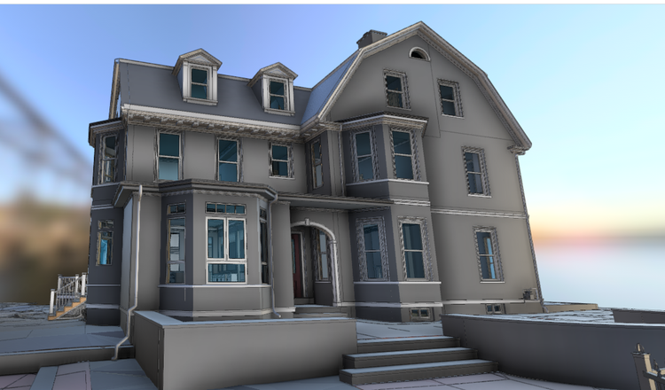
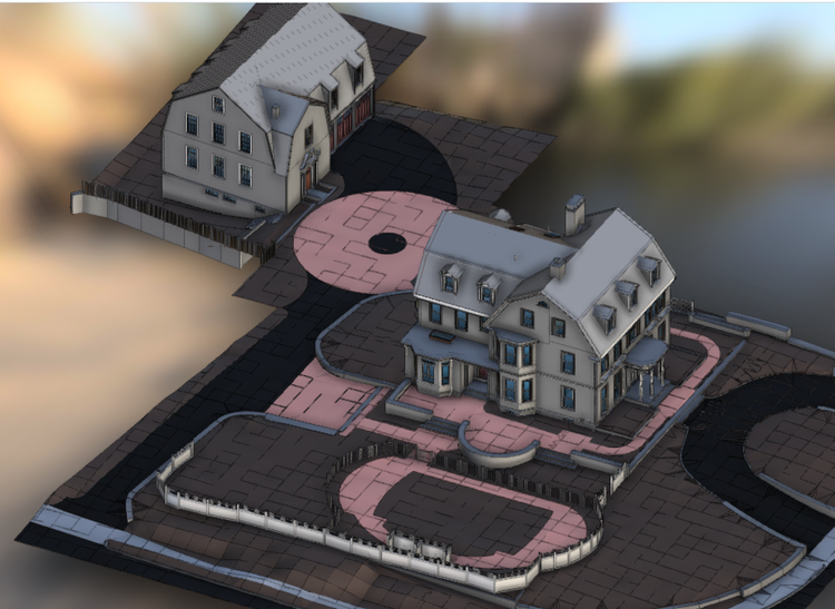
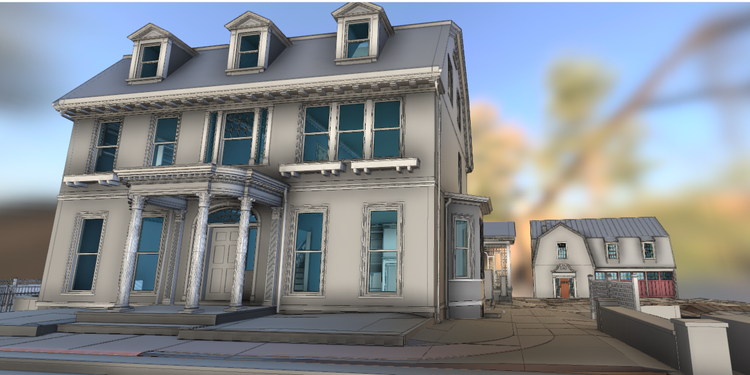
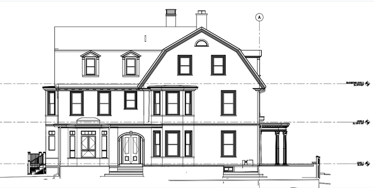
A complete existing conditions package, from reality capture to usable deliverables.
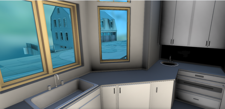
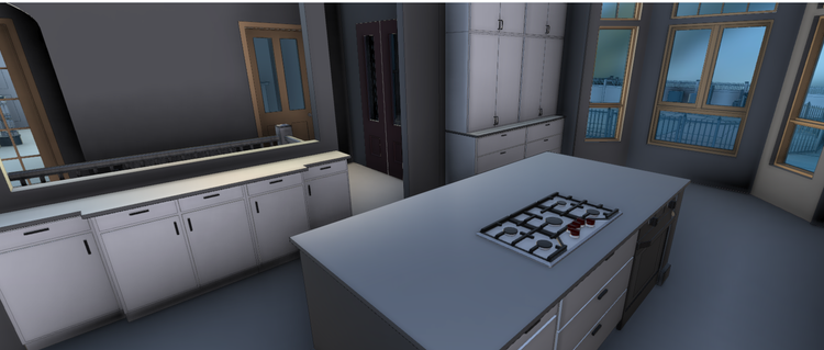
This project combined mobile LiDAR scanning, drone photogrammetry, and high-resolution photography to create a coordinated digital twin of the property. The result is a clear, reliable dataset that supports efficient renovation planning while preserving the architectural integrity of one of Newton’s most established residential areas.
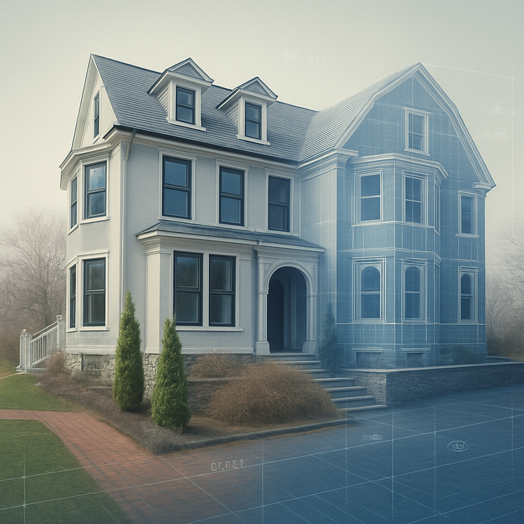
The value is not in the scan itself. It is in what your team can do next.
Design-ready deliverables
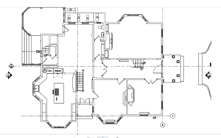
Measured information is structured into clean Revit and CAD outputs so architects, owners, and developers can move quickly.
Clear communication
Pointknown focuses on clarity. The process stays in the background. The usable result stays front and center.
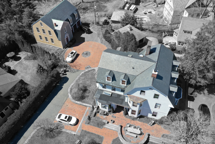
One source of truth
A single field effort supports visualization, planning, modeling, and documentation—without repeated site visits or fragmented information.
If you are planning, renovating, leasing, or evaluating a building, clear existing conditions matter.
Pointknown helps design teams and property stakeholders move forward with confidence by turning existing buildings into usable, decision-ready information.