

Kennebunk Port Maine
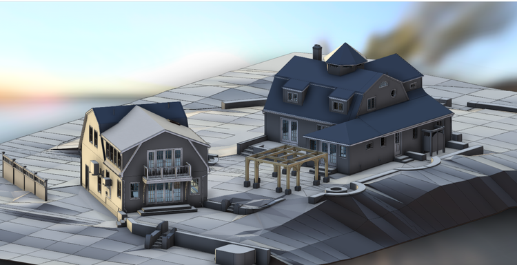
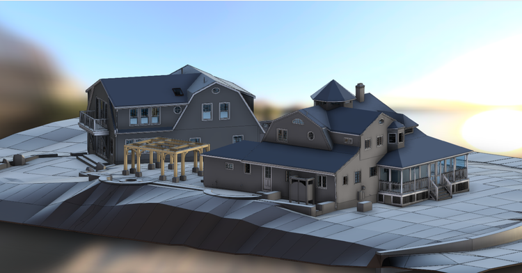
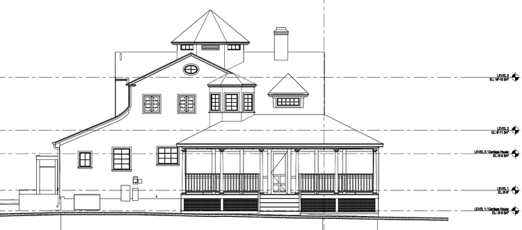
In Kennebunkport, Maine, Pointknown documented a coastal residential property featuring a main home and carriage house. The project focused on capturing both structures and their surrounding site conditions to support accurate modeling and future design work.
Kennebunkport, Maine is a historic seacoast town in Southern Maine known for its maritime heritage, working harbor, and waterfront estates. The town gained national recognition as the summer home of former President George H. W. Bush and the Bush family, while continuing to preserve the coastal New England character that defines the region.
A complete existing conditions package, from reality capture to usable deliverables.
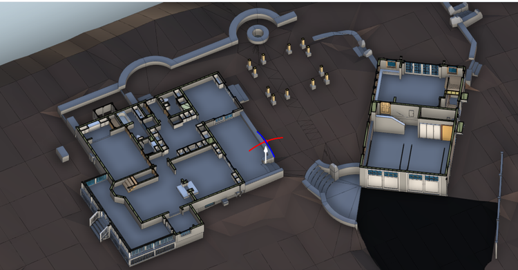
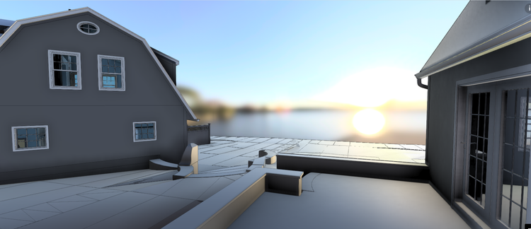
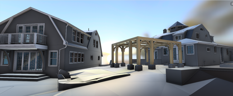
This project combined building documentation with detailed topographic modeling to create a unified digital twin of the property. Capturing both architectural geometry and site conditions ensured the design team could evaluate the residence and landscape together as a connected coastal environment.


The value is not in the scan itself. It is in what your team can do next.
Design-ready deliverables
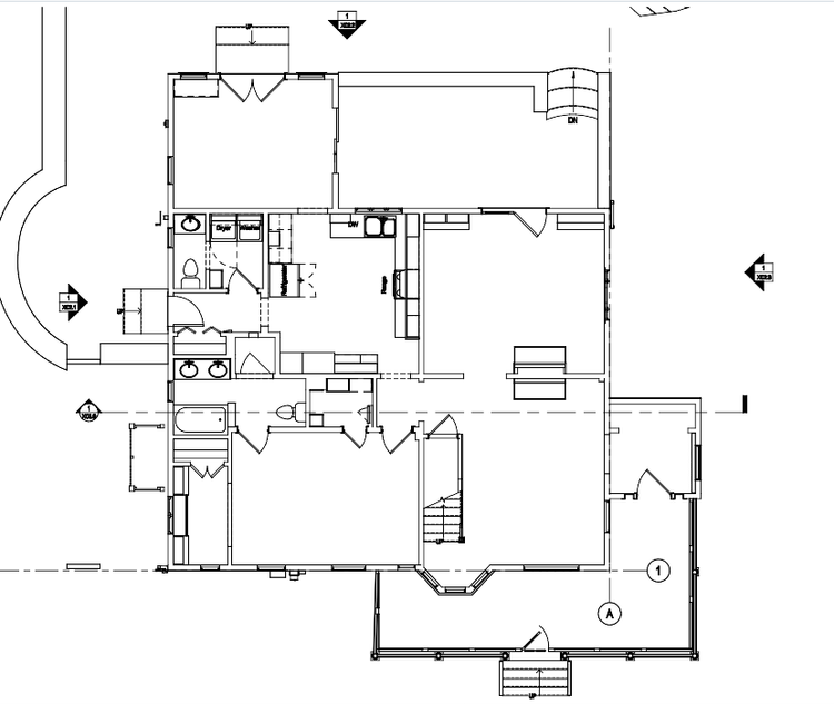
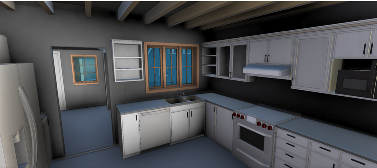
Measured information is structured into clean Revit and CAD outputs so architects, owners, and developers can move quickly.
Clear communication
Pointknown focuses on clarity. The process stays in the background. The usable result stays front and center.
One source of truth
A single field effort supports visualization, planning, modeling, and documentation—without repeated site visits or fragmented information.
If you are planning, renovating, leasing, or evaluating a building, clear existing conditions matter.
Pointknown helps design teams and property stakeholders move forward with confidence by turning existing buildings into usable, decision-ready information.