

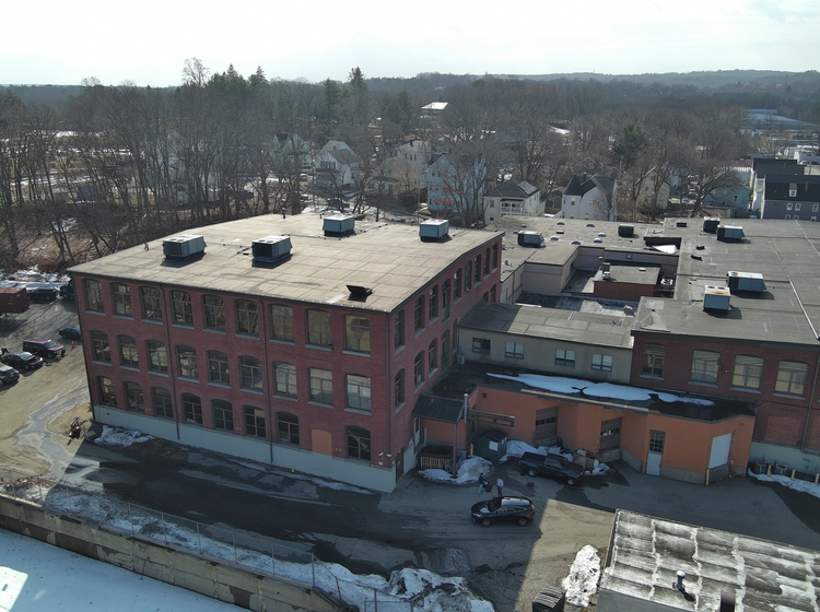
Fremont Street Worcester
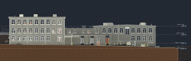
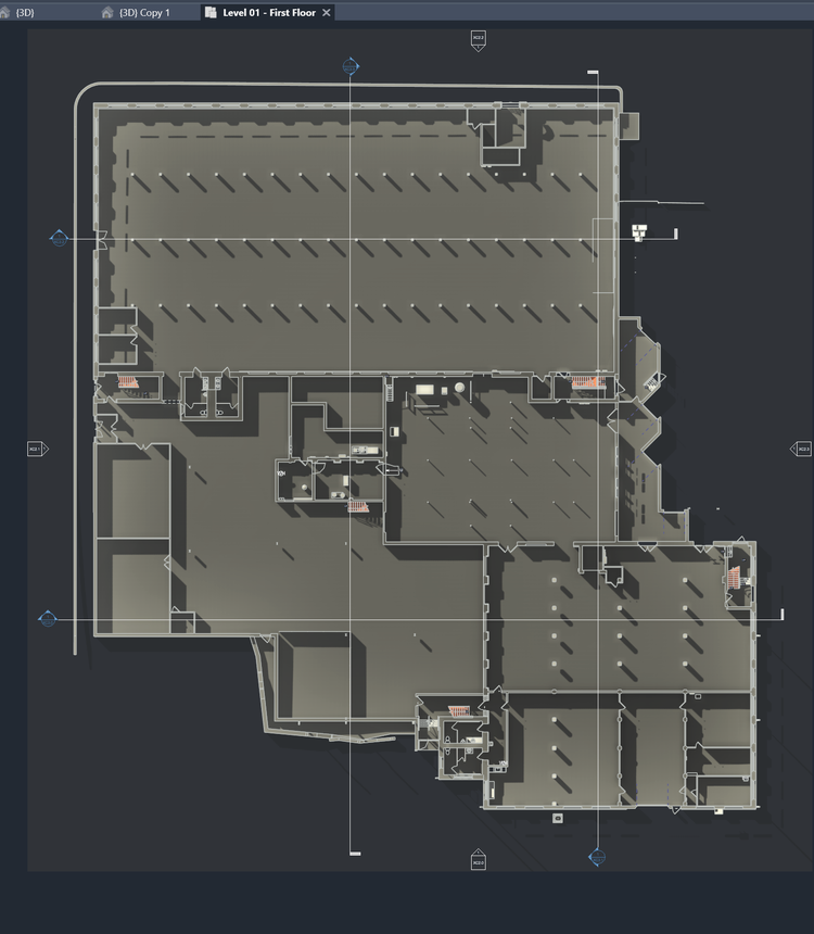
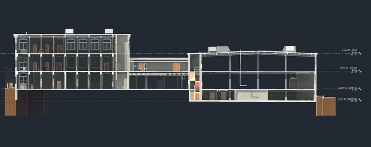
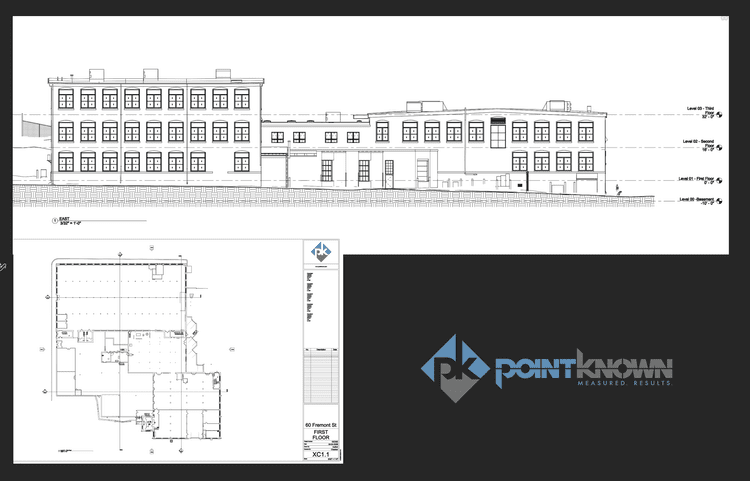
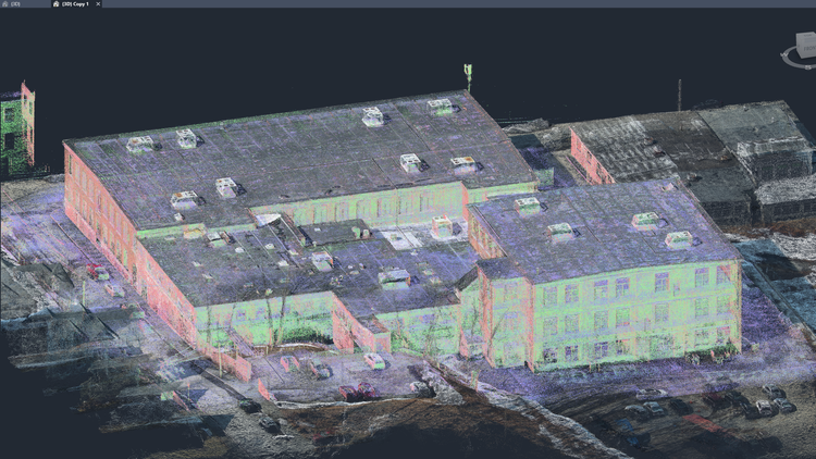
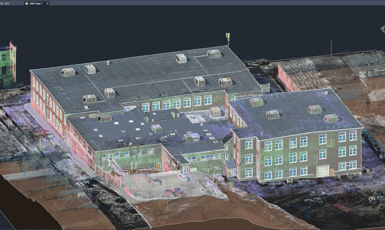
At 60 Fremont Street in Worcester, MA, Pointknown documented a large historic mill property spanning over 110,000 SF of building area and more than 200,000 SF of surrounding site and topography. The project focused on creating a clear, accurate digital foundation to support redevelopment and future buildouts.
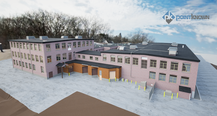
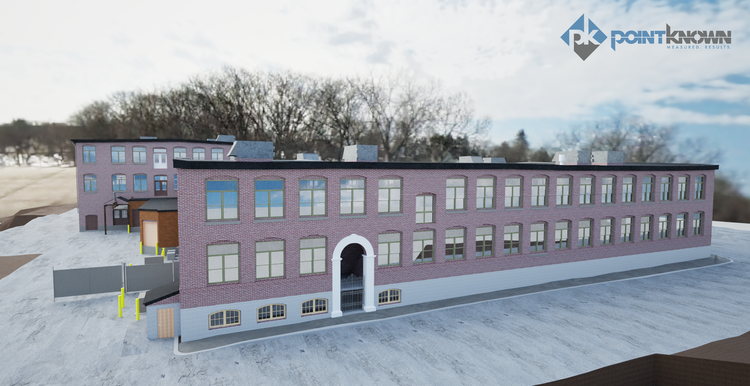
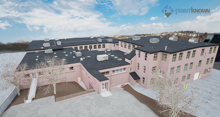
A complete existing conditions package, from reality capture to usable deliverables.
This project demonstrates the value of capturing industrial-scale complexity in a unified digital environment. By integrating building and site data into a single coordinated model, stakeholders were able to evaluate structural behavior, layout constraints, and redevelopment strategies with far greater confidence and speed, avoiding costly assumptions during early design phases.
The value is not in the scan itself. It is in what your team can do next.
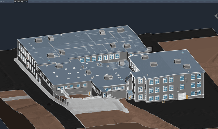
Design-ready deliverables
Measured information is structured into clean Revit and CAD outputs so architects, owners, and developers can move quickly.
Clear communication
Pointknown focuses on clarity. The process stays in the background. The usable result stays front and center.
One source of truth
A single field effort supports visualization, planning, modeling, and documentation—without repeated site visits or fragmented information.
If you are planning, renovating, leasing, or evaluating a building, clear existing conditions matter.
Pointknown helps design teams and property stakeholders move forward with confidence by turning existing buildings into usable, decision-ready information.