

Falmouth MA
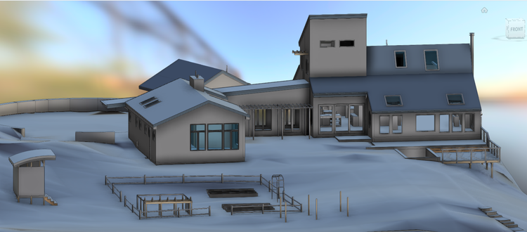
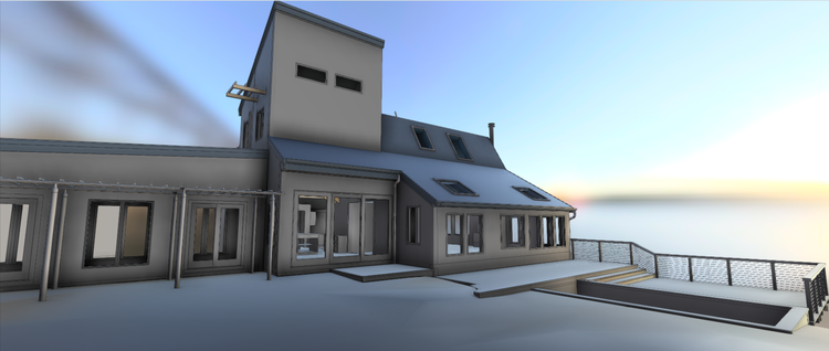
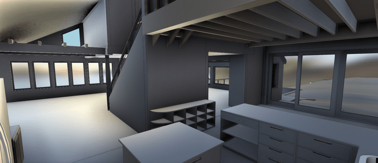
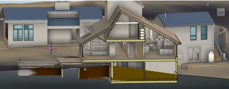
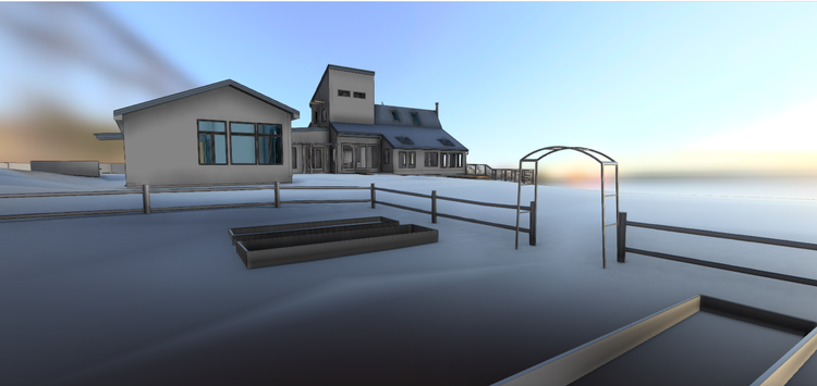
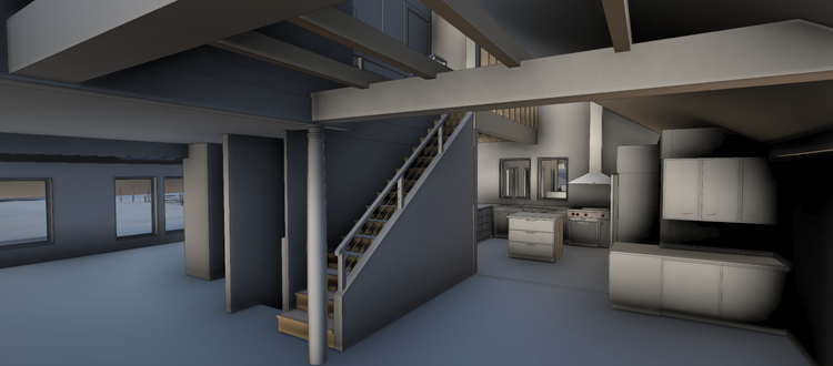
Pointknown documented a private residential estate in Falmouth, Massachusetts, capturing a contemporary home set within a carefully designed landscape inspired by minimalist Japanese aesthetics. The property spans approximately six acres and includes both the main residence and a detached structure used as a professional office or guest quarters. The goal was to create a precise, design-ready digital model to support planning, documentation, and future improvements.
Falmouth, Massachusetts is one of Cape Cod’s most established coastal communities, known for its waterfront estates, preserved natural landscapes, and blend of historic and contemporary architecture. Over time, the area has become home to residences that combine coastal New England character with globally influenced modern design principles.
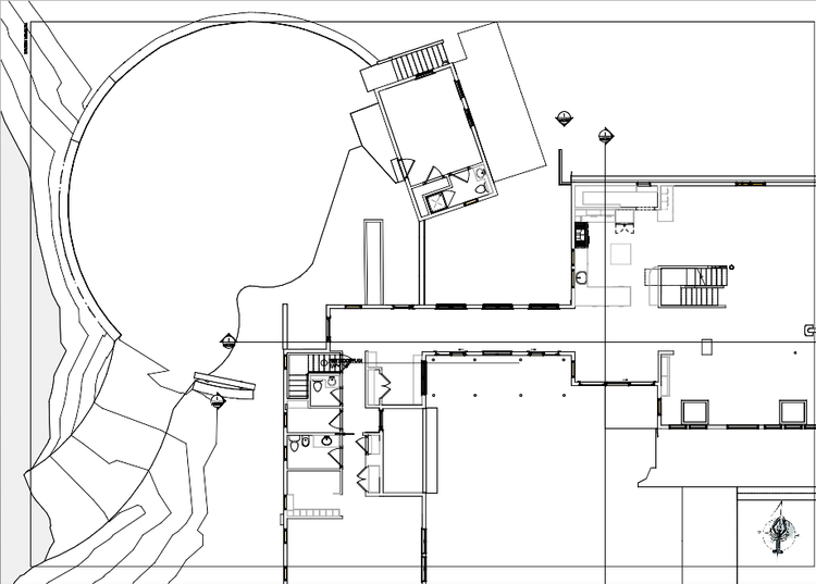
A complete existing conditions package, from reality capture to usable deliverables.
This project combined mobile LiDAR scanning, drone photogrammetry, and visual documentation to capture a modern estate defined by both architecture and landscape. The result is a cohesive digital twin that supports thoughtful design decisions while preserving the property’s balance of privacy, simplicity, and spatial clarity.
The value is not in the scan itself. It is in what your team can do next.
Design-ready deliverables
Measured information is structured into clean Revit and CAD outputs so architects, owners, and developers can move quickly.
Clear communication
Pointknown focuses on clarity. The process stays in the background. The usable result stays front and center.
One source of truth
A single field effort supports visualization, planning, modeling, and documentation—without repeated site visits or fragmented information.
If you are planning, renovating, leasing, or evaluating a building, clear existing conditions matter.
Pointknown helps design teams and property stakeholders move forward with confidence by turning existing buildings into usable, decision-ready information.