

Everett Mill
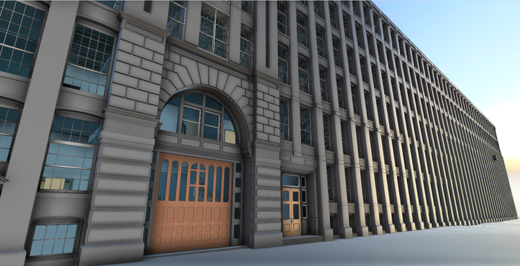
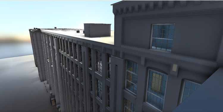
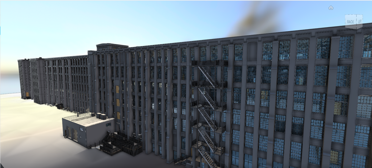
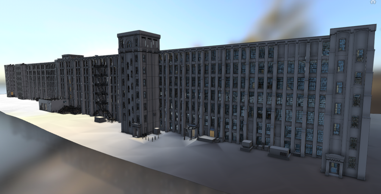
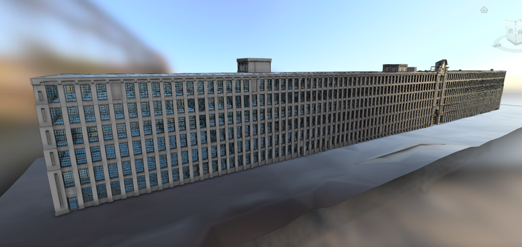
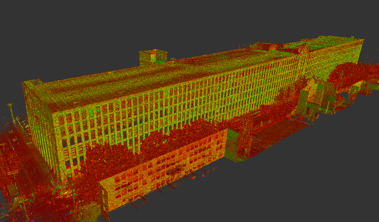
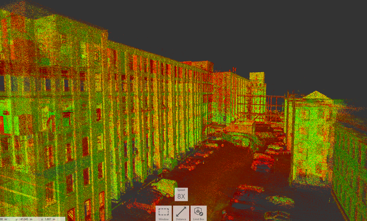
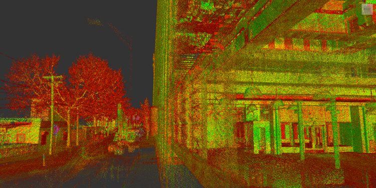
Pointknown documented the Everett Mills in Lawrence, Massachusetts, a large-scale historic mill complex spanning over 500,000 square feet across six levels plus a basement. The project focused on capturing complete existing conditions—including the roof—to create a unified, design-ready digital model supporting renovation, tenant coordination, and long-term asset management.
Everett Mills has been a cornerstone of Lawrence’s industrial heritage for over a century, originally serving as a textile manufacturing facility during the city’s peak as a textile production hub. Today, the building has been adaptively reused to accommodate a diverse mix of commercial tenants, while retaining its defining architectural features such as exposed brick, timber structure, expansive windows, and heavy-load floor systems.
A complete existing conditions package, from reality capture to usable deliverables.
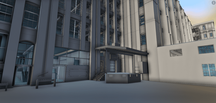
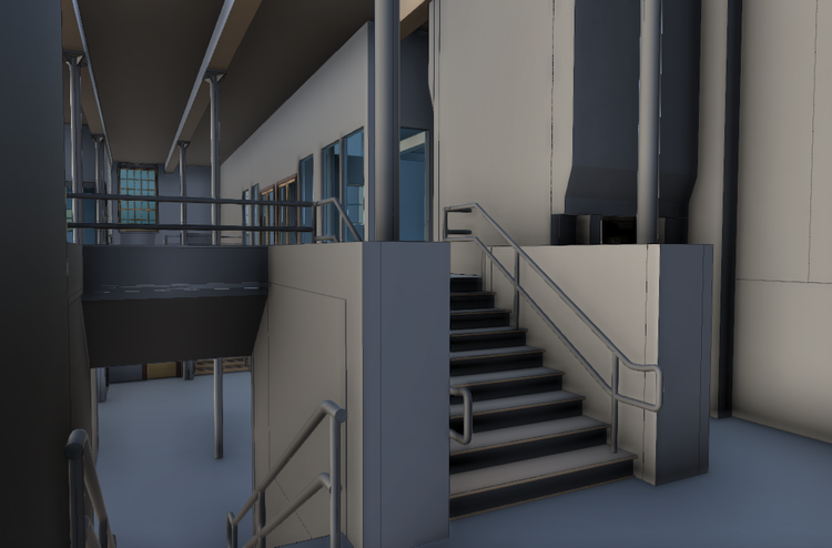
This project combined mobile LiDAR scanning, drone photogrammetry, and 360° media capture to document a half-million-square-foot mill building with high precision. The result is a cohesive digital twin that captures both the scale and character of the property—supporting adaptive reuse, ongoing operations, and future development with clarity.


The value is not in the scan itself. It is in what your team can do next.
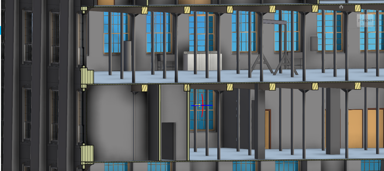
Design-ready deliverables
Measured information is structured into clean Revit and CAD outputs so architects, owners, and developers can move quickly.
Clear communication
Pointknown focuses on clarity. The process stays in the background. The usable result stays front and center.
One source of truth
A single field effort supports visualization, planning, modeling, and documentation—without repeated site visits or fragmented information.
If you are planning, renovating, leasing, or evaluating a building, clear existing conditions matter.
Pointknown helps design teams and property stakeholders move forward with confidence by turning existing buildings into usable, decision-ready information.