

Dennis
In Dennis, MA, Pointknown documented a coastal residential property in a town known for its maritime history and shoreline character. The project focused on capturing the home and its surrounding site conditions to support thoughtful renovation and design that respects both tradition and modern living.
Dennis, Massachusetts was founded in 1793 and has long been associated with Cape Cod’s maritime and shipbuilding history. Known for its coastal landscapes, historic homes, and waterfront communities, Dennis continues to balance preservation of its New England heritage with thoughtful residential development and modernization.
A complete existing conditions package, from reality capture to usable deliverables.
A complete reality capture of a coastal Dennis residence, delivered as a detailed Revit model supported by visual datasets—providing a design-ready foundation for renovation in a historic shoreline setting.
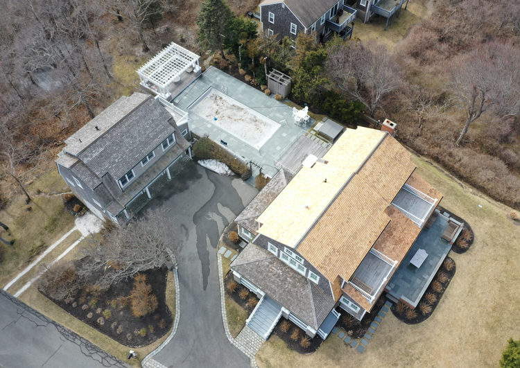
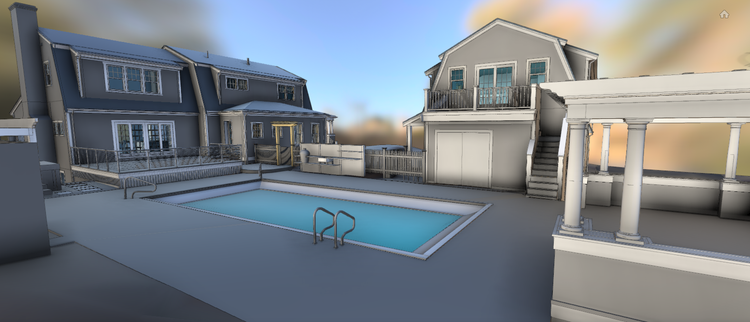
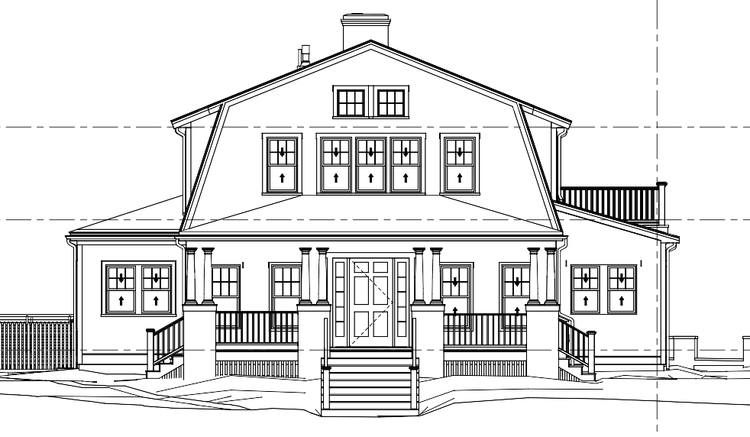
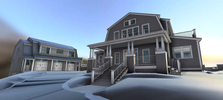
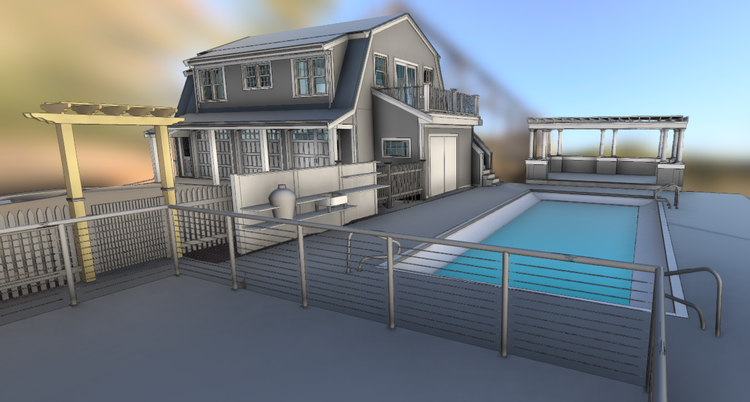
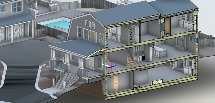
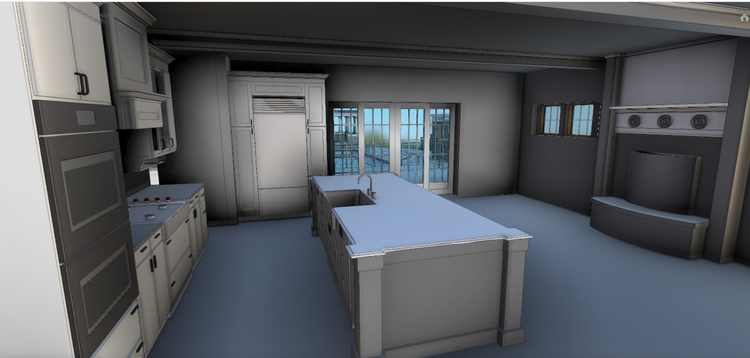
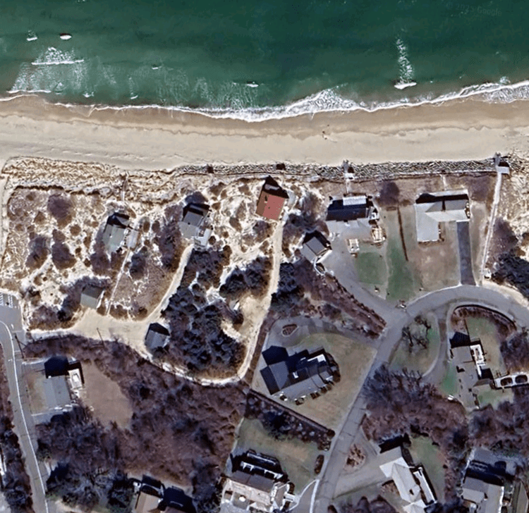
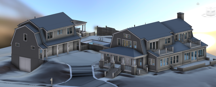
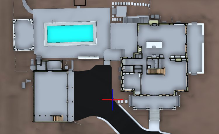
The value is not in the scan itself. It is in what your team can do next.
Design-ready deliverables
Measured information is structured into clean Revit and CAD outputs so architects, owners, and developers can move quickly.
Clear communication
Pointknown focuses on clarity. The process stays in the background. The usable result stays front and center.
One source of truth
A single field effort supports visualization, planning, modeling, and documentation—without repeated site visits or fragmented information.
If you are planning, renovating, leasing, or evaluating a building, clear existing conditions matter.
Pointknown helps design teams and property stakeholders move forward with confidence by turning existing buildings into usable, decision-ready information.