

Concord MA
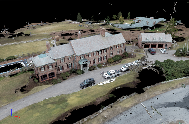
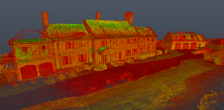
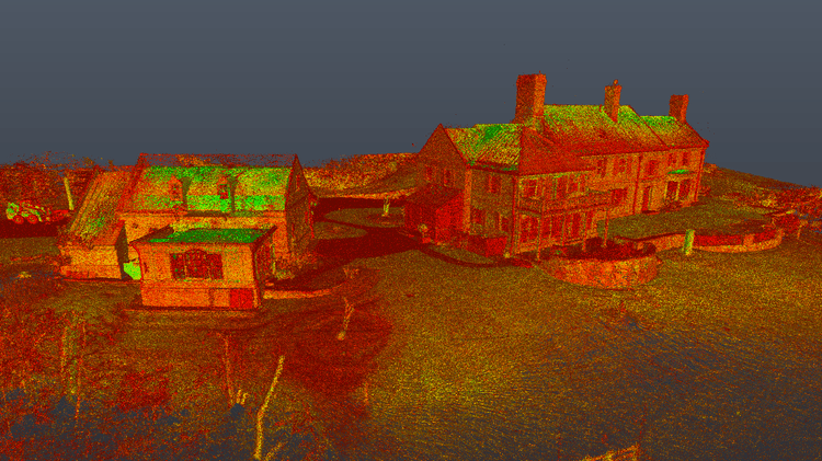
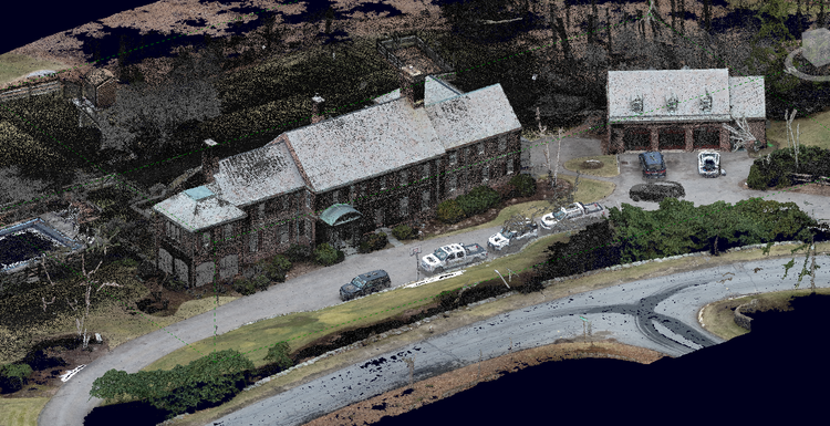
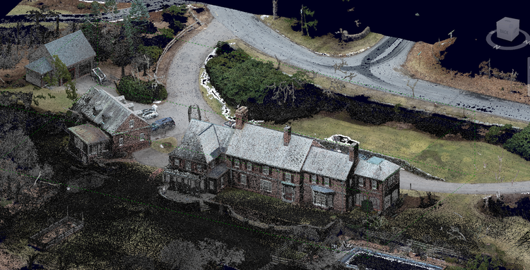
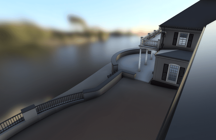
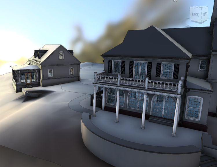
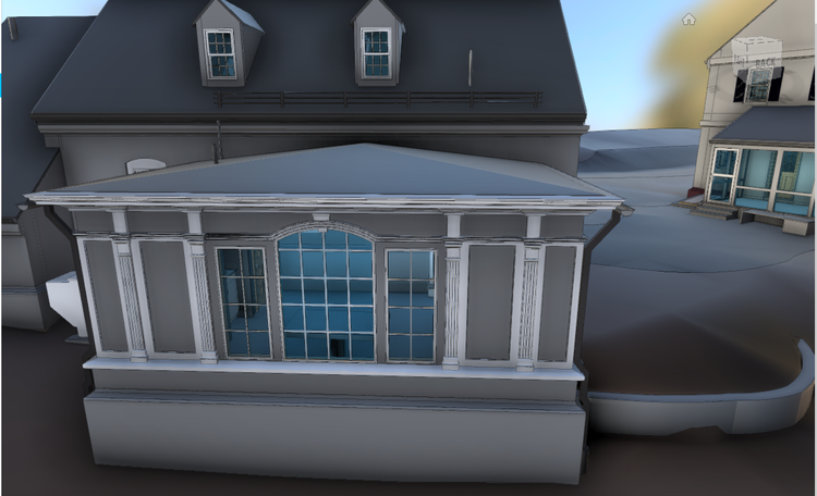
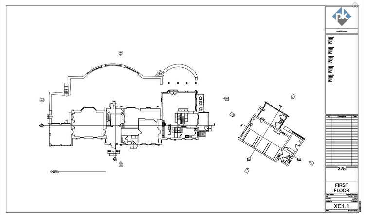
Pointknown was engaged to document a residential estate property in Concord, Massachusetts consisting of a main house and detached carriage house. The project focused on creating a complete digital record of the structures and surrounding site conditions to support future renovation, planning, and design coordination efforts.
A complete existing conditions package, from reality capture to usable deliverables.
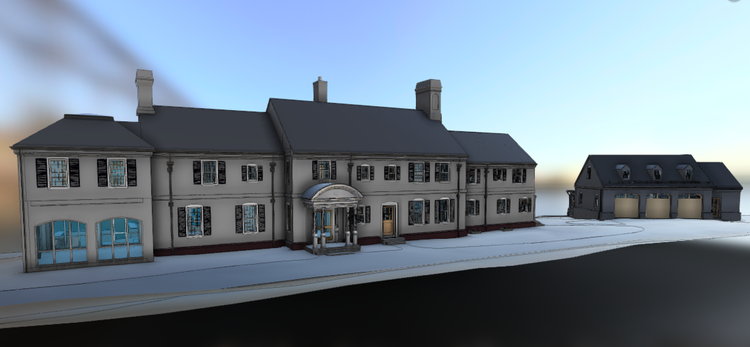
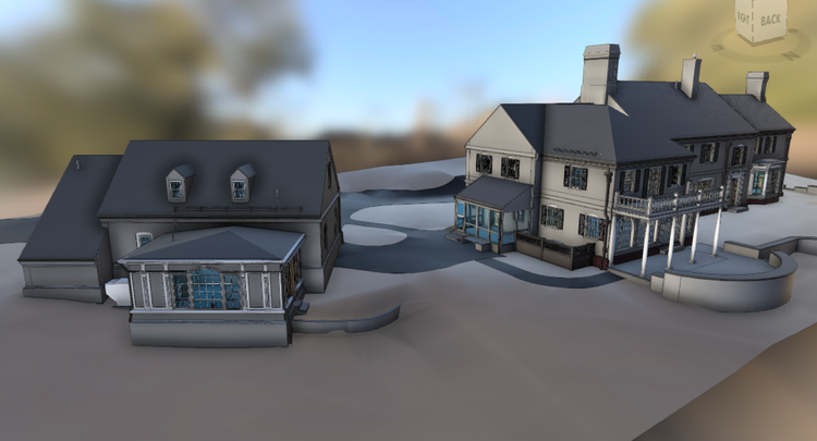
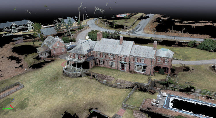
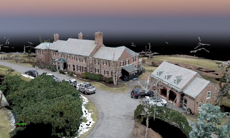
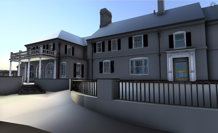
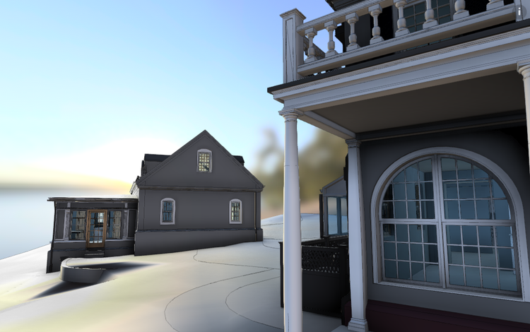
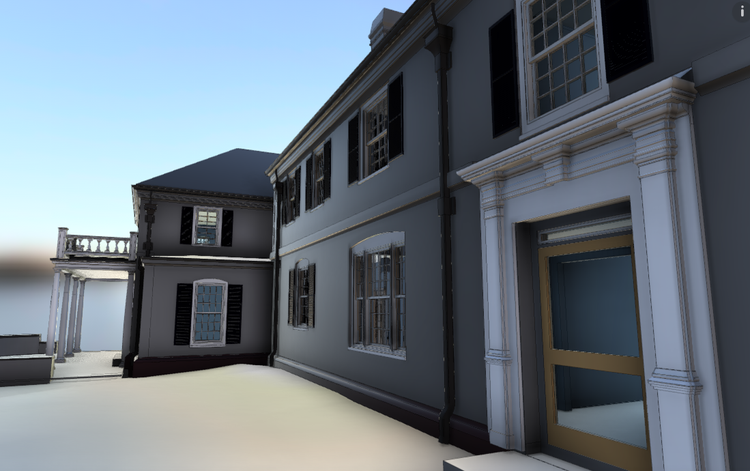
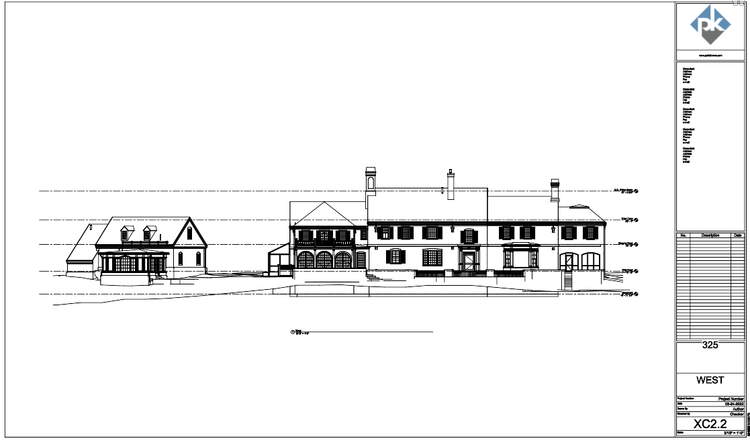
This project combined terrestrial and aerial reality-capture workflows to create a highly detailed digital twin of both the residence and carriage house. The integration of scan data, drone imagery, and CAD-ready outputs ensured the design team had access to both highly accurate geometry and flexible deliverables suitable for multiple downstream platforms and workflows.


The value is not in the scan itself. It is in what your team can do next.
Design-ready deliverables
Measured information is structured into clean Revit and CAD outputs so architects, owners, and developers can move quickly.
Clear communication
Pointknown focuses on clarity. The process stays in the background. The usable result stays front and center.
One source of truth
A single field effort supports visualization, planning, modeling, and documentation—without repeated site visits or fragmented information.
If you are planning, renovating, leasing, or evaluating a building, clear existing conditions matter.
Pointknown helps design teams and property stakeholders move forward with confidence by turning existing buildings into usable, decision-ready information.