

Brookline Residence
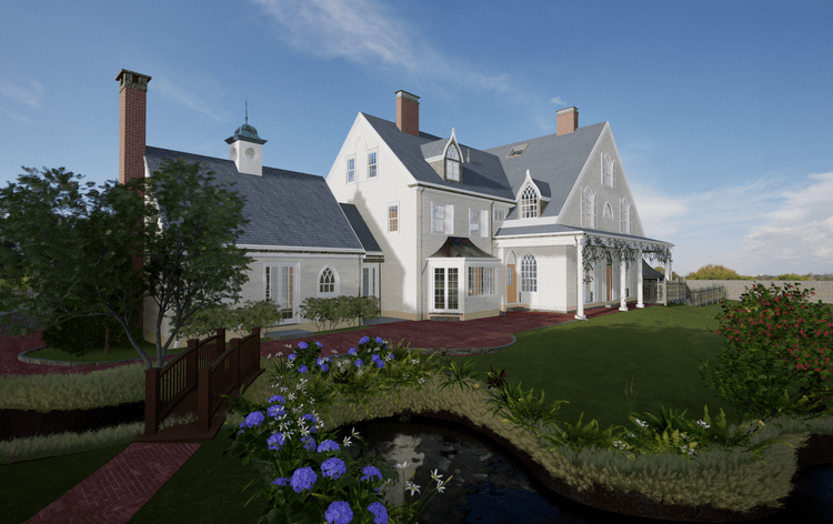
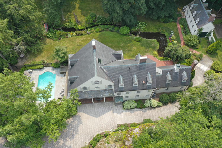
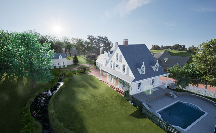
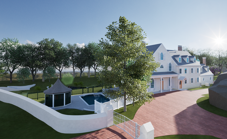
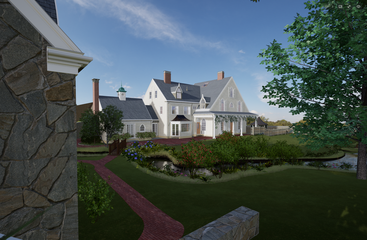
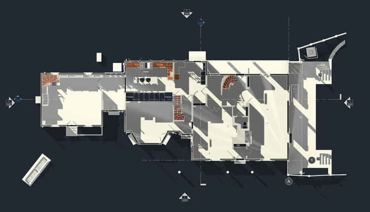
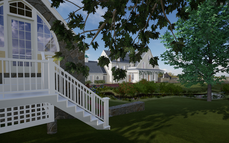
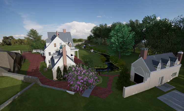
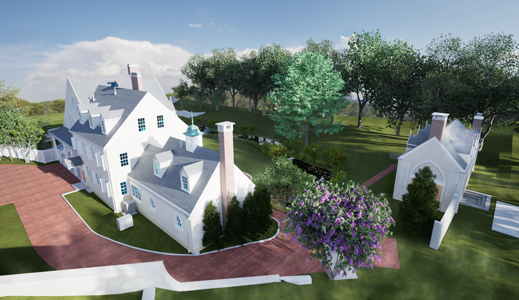
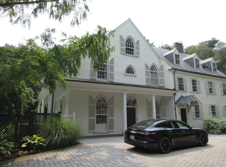
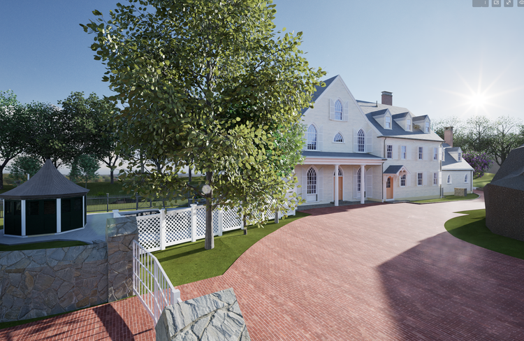
Pointknown documented a Gothic Revival–style property where architecture and landscape are deeply interconnected. The scope included the main residence, a detached carriage house, and complex site conditions defined by steep grade changes, exposed ledge, and a natural stream running through the property. Using a combination of LiDAR scanning, drone photogrammetry, and ground-based capture, Pointknown created a unified existing-conditions model that integrates both structures and terrain into a single accurate dataset. This allows the site to be understood holistically, supporting renovation planning, permitting, and design coordination with clarity and precision.
A complete existing conditions package, from reality capture to usable deliverables.
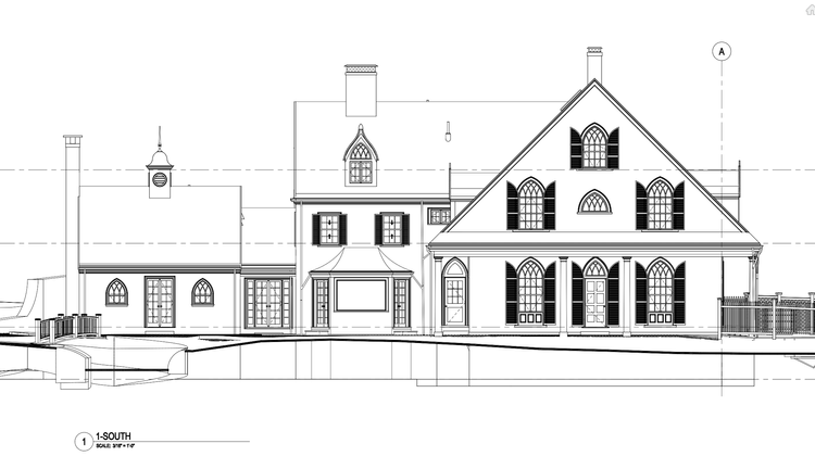
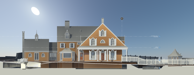
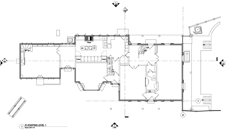
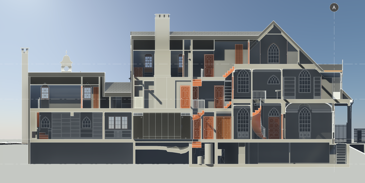
A complete existing-conditions package was developed, translating field reality capture into a precise, coordinated 3D dataset. The deliverable integrates architecture and terrain into a single usable model, providing a reliable foundation for design, analysis, and project coordination.
The value is not in the scan itself. It is in what your team can do next.
Design-ready deliverables
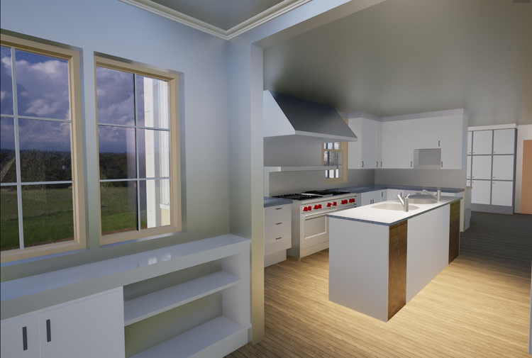
Measured information is structured into clean Revit and CAD outputs so architects, owners, and developers can move quickly.
Clear communication
Pointknown focuses on clarity. The process stays in the background. The usable result stays front and center.
One source of truth
A single field effort supports visualization, planning, modeling, and documentation—without repeated site visits or fragmented information.
If you are planning, renovating, leasing, or evaluating a building, clear existing conditions matter.
Pointknown helps design teams and property stakeholders move forward with confidence by turning existing buildings into usable, decision-ready information.