
BROOKE CHARTER SCHOOL · BOSTON MA

Brooke Charter Schoool

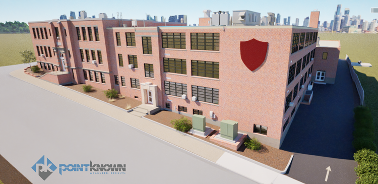
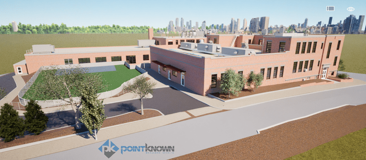
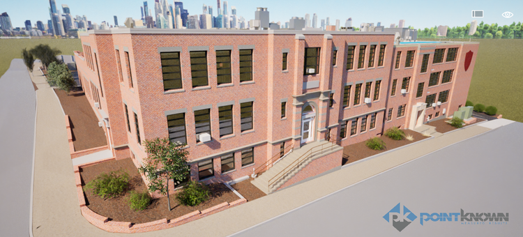
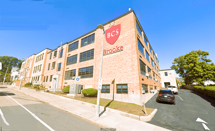
At Brooke Charter School in Roslindale, MA, Pointknown documented the campus to support ongoing planning and improvements. The project focused on creating a clear, accurate digital model of the school environment to support design and decision-making.

One of the Highest-performing Schools
Project Type
Academic
Deliverables
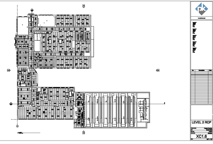
3D Revit model + Reflected ceiling plan (RCP)
Location
Boston, MA
Use Case
Ongoing Planning & Improvements
Measured once. Delivered ready for design.
What was documented
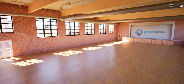
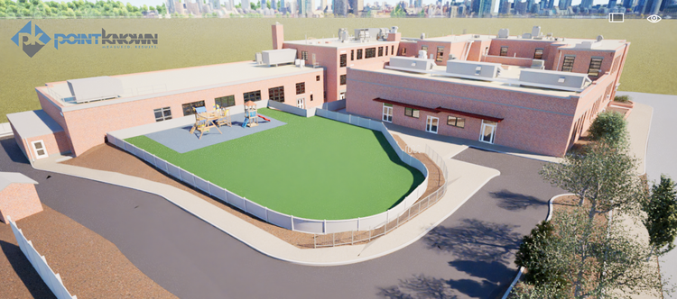
Our team captured all campus structures along with the connecting hardscape and landscape elements between buildings. Using a combination of SLAM-based mobile scanning, terrestrial LiDAR, and drone photogrammetry, we documented building exteriors, interiors, and terrain transitions, ensuring a complete understanding of the site as a unified system.
What was delivered
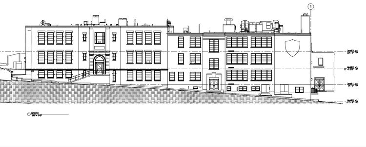
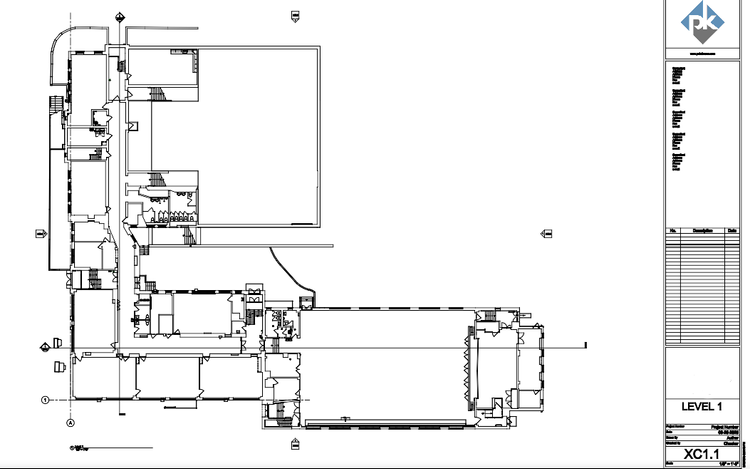
Pointknown delivered coordinated Revit, SketchUp, AutoCAD, and PDF outputs derived directly from the registered scan data. The Revit model served as the primary coordination tool, with additional exports supporting a range of design and documentation workflows across multiple platforms.
Why it matters
Campus environments often rely on the relationship between buildings, pathways, and landscape features. By capturing both architecture and terrain as a single dataset, Pointknown provided a reliable digital foundation for design teams to evaluate circulation, site planning, and future development opportunities without ambiguity.
PROJECT HIGHLIGHTS

A complete existing conditions package, from reality capture to usable deliverables.

This project highlights the value of integrating multiple capture technologies to document complex campus systems efficiently. By modeling directly in Revit from unified scan data, the workflow enabled flexible output generation while maintaining consistency across all deliverables, from conceptual SketchUp models to technical CAD documentation.
Project highlight
Project highlight
Project highlight
Project highlight
Project highlight
Project highlight
Project highlight
Project highlight
Project highlight
WHY POINTKNOWN

The value is not in the scan itself. It is in what your team can do next.

Design-ready deliverables

Measured information is structured into clean Revit and CAD outputs so architects, owners, and developers can move quickly.

Clear communication

Pointknown focuses on clarity. The process stays in the background. The usable result stays front and center.

One source of truth

A single field effort supports visualization, planning, modeling, and documentation—without repeated site visits or fragmented information.

Interested in something similar?

If you are planning, renovating, leasing, or evaluating a building, clear existing conditions matter.

Pointknown helps design teams and property stakeholders move forward with confidence by turning existing buildings into usable, decision-ready information.