

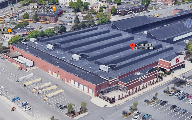
Assembly Row Somerville
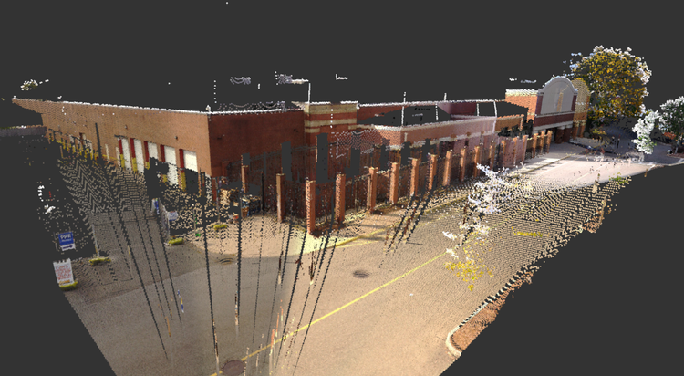
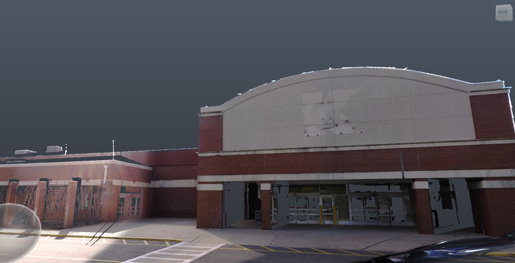
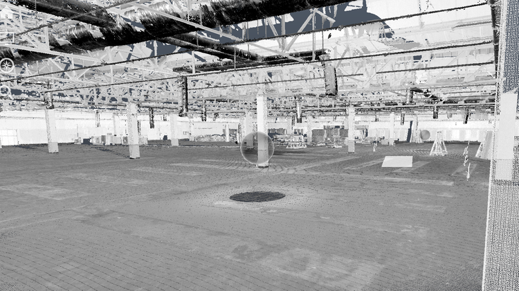
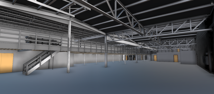
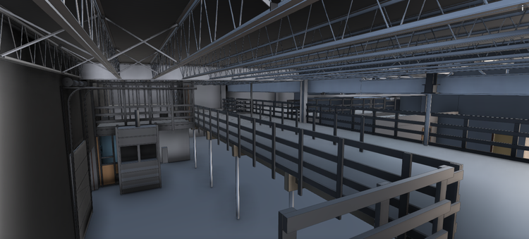
Pointknown documented a large-scale retail development at Assembly Row, an 80,000+ GSF mixed-use commercial destination in Somerville, Massachusetts. The goal of this project was to create a complete, design-ready digital record of the existing building to support planning, coordination, and future development workflows.
Assembly Row is a modern urban redevelopment district built on former industrial land along the Mystic River. It has transformed into a major retail, residential, and entertainment hub in the Greater Boston area, known for its walkable streets, adaptive reuse strategies, and large-scale commercial architecture. The project reflects Somerville’s broader evolution from industrial corridor to high-density mixed-use destination.
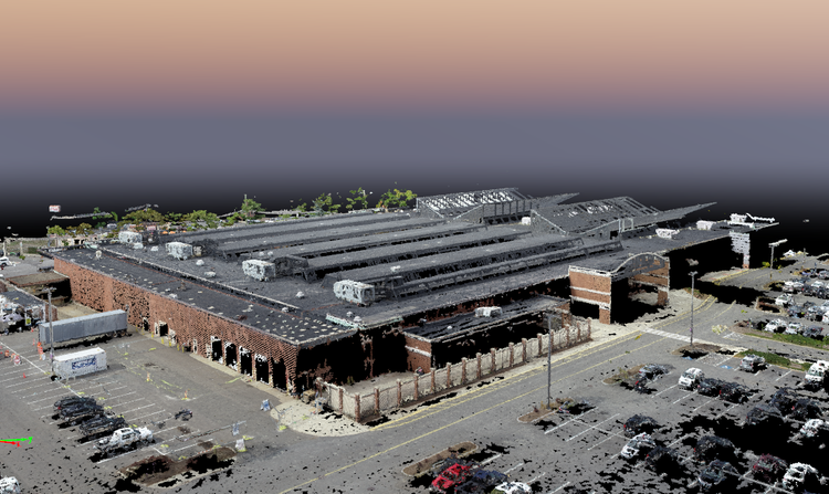
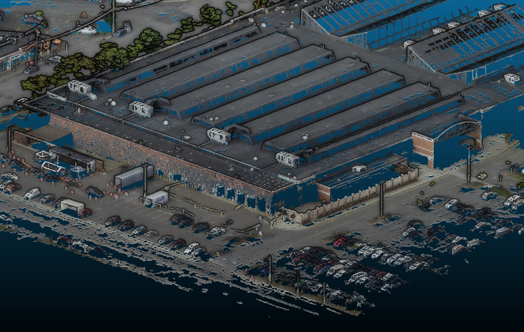
A complete existing conditions package, from reality capture to usable deliverables.
This project combined SLAM laser scanning, tripod-based LiDAR, drone photogrammetry, and high-definition terrestrial scanning into a single coordinated workflow. The result is a highly accurate digital twin of a major retail destination, enabling efficient design planning and long-term asset management across the site.


The value is not in the scan itself. It is in what your team can do next.
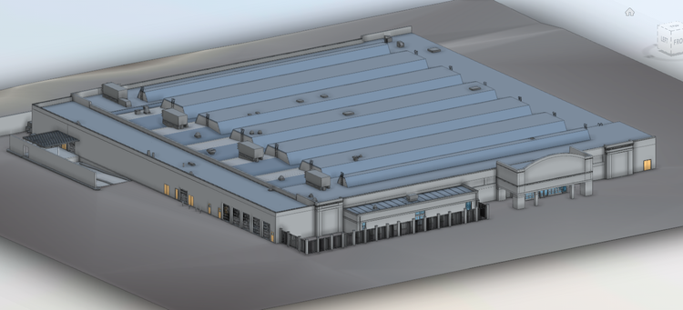
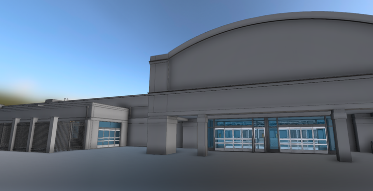
Design-ready deliverables
Measured information is structured into clean Revit and CAD outputs so architects, owners, and developers can move quickly.
Clear communication
Pointknown focuses on clarity. The process stays in the background. The usable result stays front and center.
One source of truth
A single field effort supports visualization, planning, modeling, and documentation—without repeated site visits or fragmented information.
If you are planning, renovating, leasing, or evaluating a building, clear existing conditions matter.
Pointknown helps design teams and property stakeholders move forward with confidence by turning existing buildings into usable, decision-ready information.