

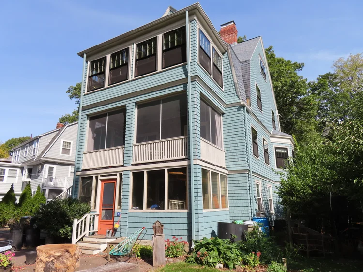
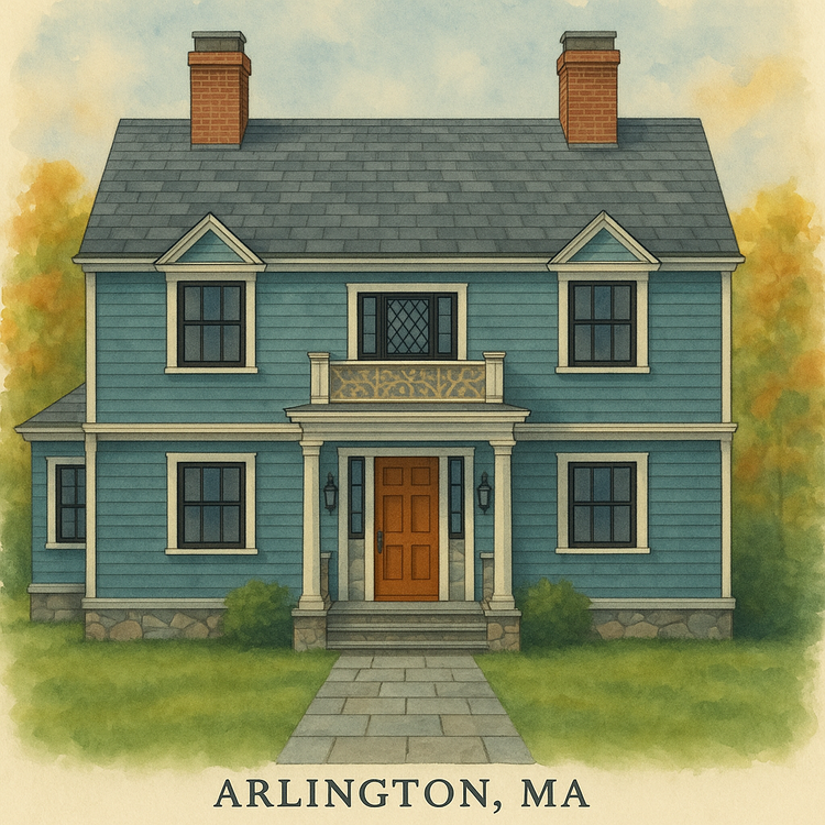
Arlington Brantwood Street
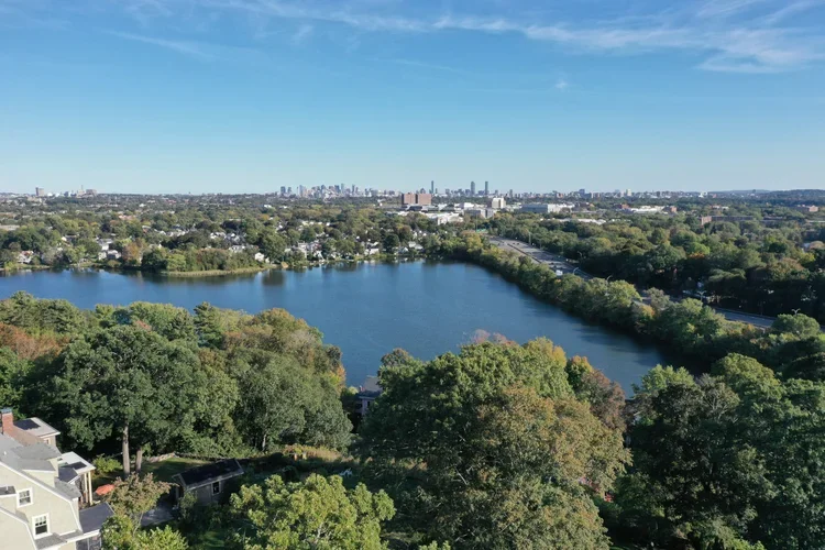
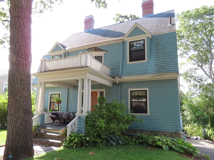
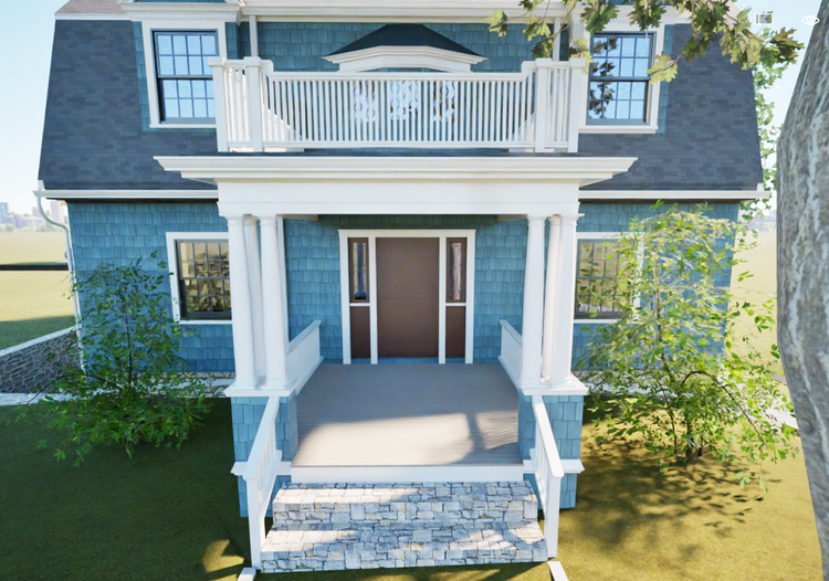
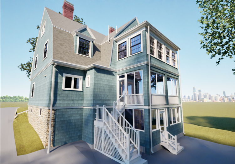
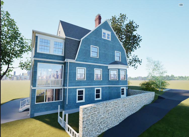
Pointknown was engaged to document an elevated residential property along Brantwood Street in Arlington, Massachusetts, positioned with sweeping views toward the Boston skyline and Spy Pond. The project focused on creating a precise digital record of the home and surrounding site conditions to support future renovation, design, and planning efforts. Neighborhood & Setting: Set within one of Arlington’s quiet hillside neighborhoods, the property combines residential privacy with expansive visual connections to both natural and urban landscapes. Its location overlooking Spy Pond and facing toward Boston makes view preservation and site coordination especially important during any architectural intervention.
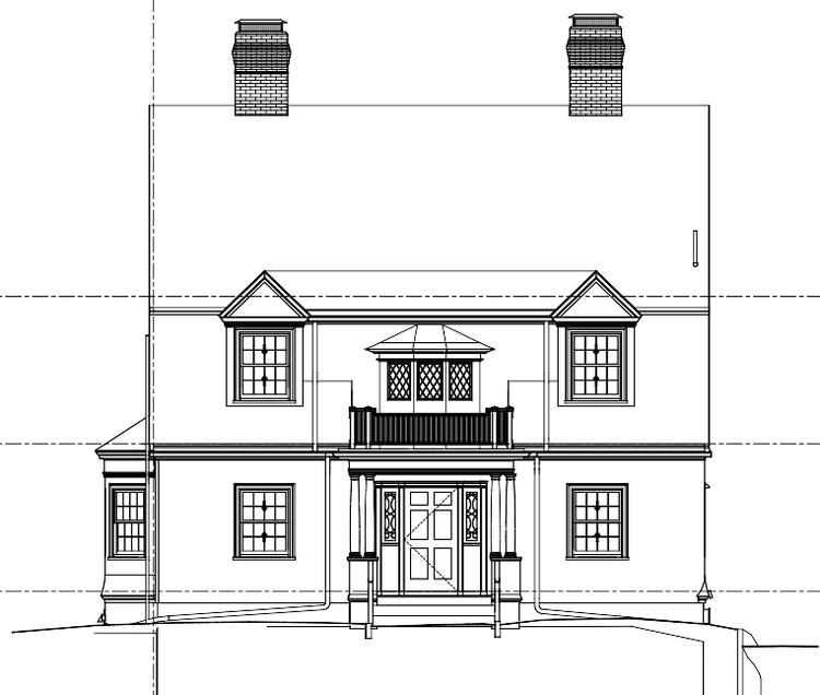
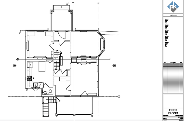
A complete existing conditions package, from reality capture to usable deliverables.
This project demonstrates how reality capture can support both architecture and landscape awareness simultaneously. The combination of LiDAR data and immersive visual documentation gives architects, owners, and builders a clear understanding of how the home interacts with its surroundings—allowing design decisions to respond thoughtfully to both
The value is not in the scan itself. It is in what your team can do next.
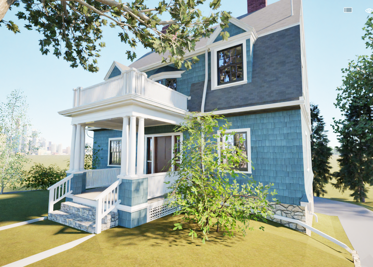
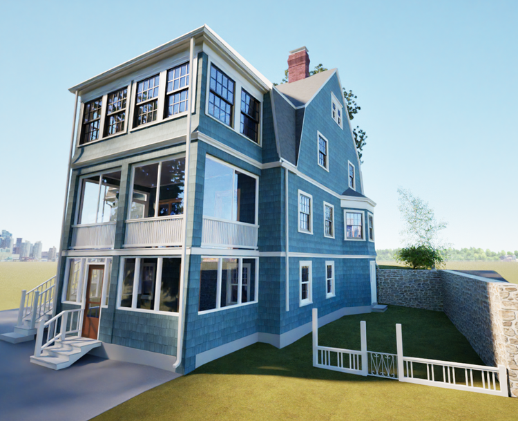
Design-ready deliverables
Measured information is structured into clean Revit and CAD outputs so architects, owners, and developers can move quickly.
Clear communication
Pointknown focuses on clarity. The process stays in the background. The usable result stays front and center.
One source of truth
A single field effort supports visualization, planning, modeling, and documentation—without repeated site visits or fragmented information.
If you are planning, renovating, leasing, or evaluating a building, clear existing conditions matter.
Pointknown helps design teams and property stakeholders move forward with confidence by turning existing buildings into usable, decision-ready information.