

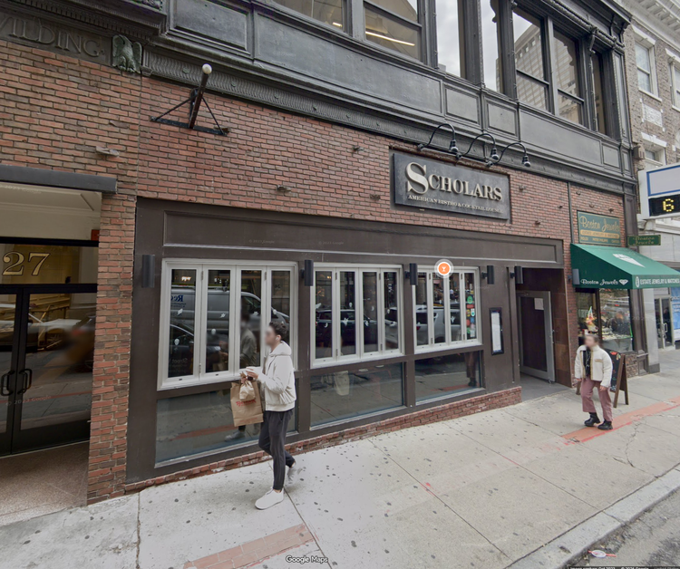
25 School Street Boston
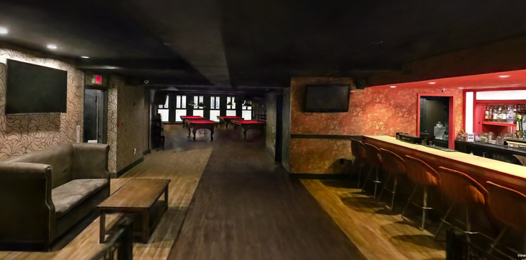
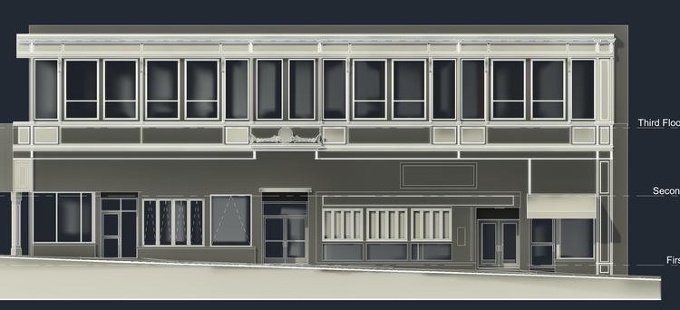
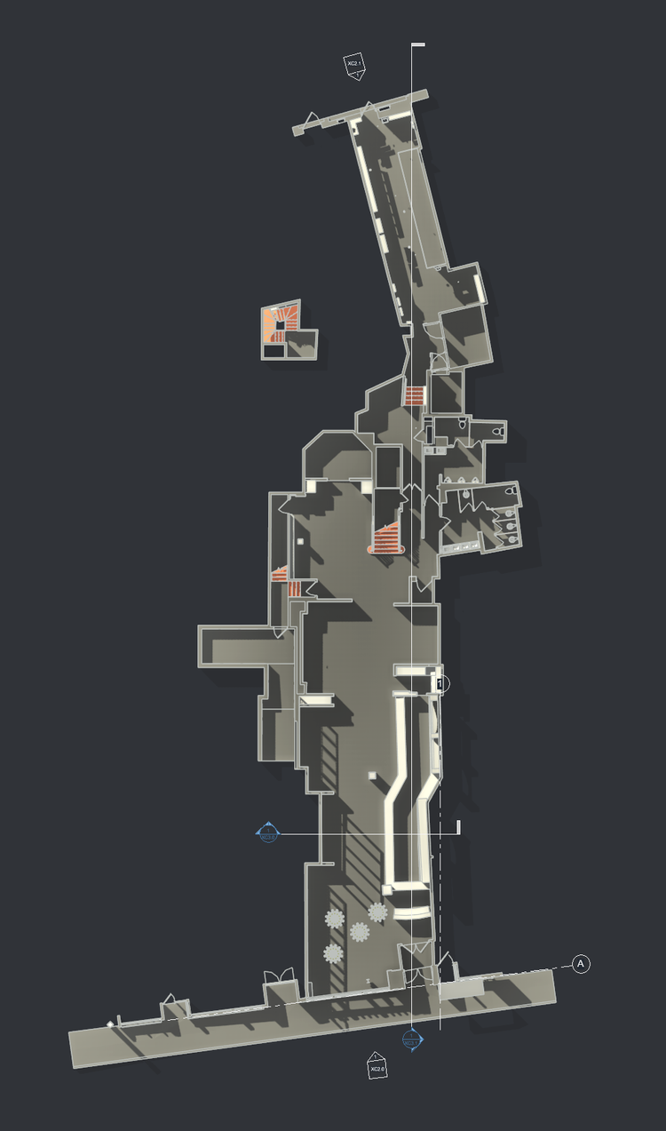
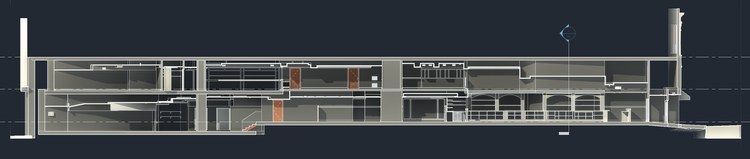
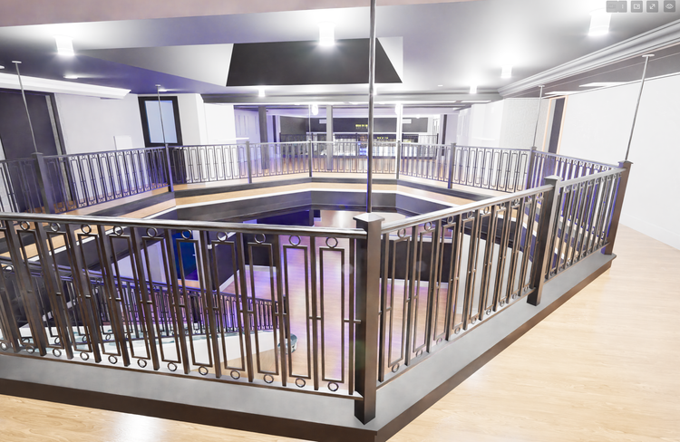
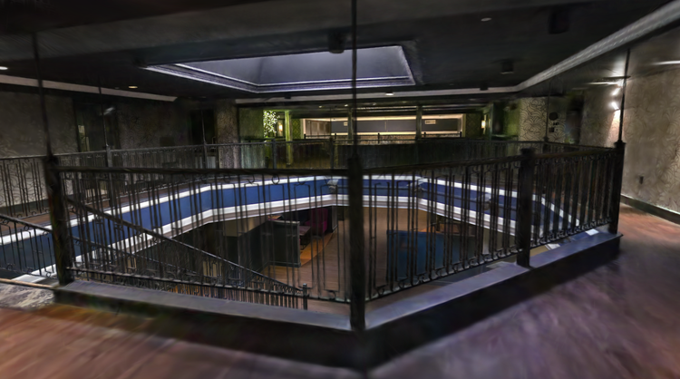
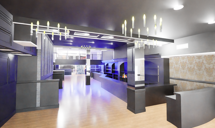
At 25 School Street in downtown Boston, Pointknown documented a 10,000 SF multi-level commercial space with a complex layout shaped by multiple prior build-outs. The project focused on creating a clear, navigable understanding of the space to support its transition from Scholars Pub to Off The Rails Boston.
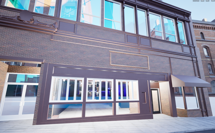
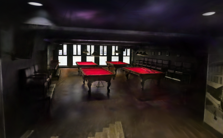
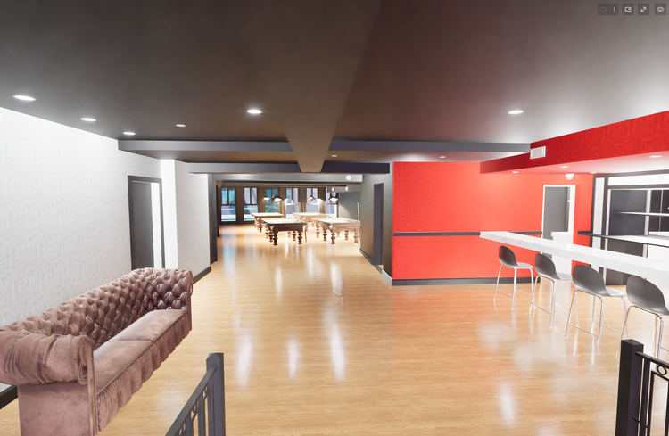
This space is best understood in person, as its character unfolds only through movement and experience. It spans two levels within the building and shifts in both scale and perception as you move through it. The geometry is irregular, with varied transitions that break from standard structural alignment. Over time, it has also accumulated multiple layers of previous modifications and build-outs, each contributing to its current form. Because of these complexities, conventional drawings on their own are not sufficient to fully convey how the space functions or is experienced.
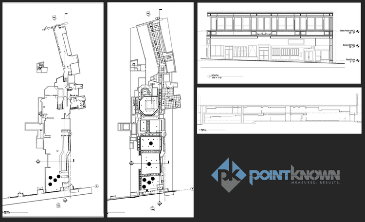
A complete existing conditions package, from reality capture to usable deliverables.
The project demonstrates how layered reality capture can clarify highly complex interiors. The combination of LiDAR accuracy and immersive spatial visualization allowed stakeholders to understand how the two-level layout connects, how circulation flows, and how past interventions shape current conditions—all within a single coordinated dataset.


The value is not in the scan itself. It is in what your team can do next.
Design-ready deliverables
Measured information is structured into clean Revit and CAD outputs so architects, owners, and developers can move quickly.
Clear communication
Pointknown focuses on clarity. The process stays in the background. The usable result stays front and center.
One source of truth
A single field effort supports visualization, planning, modeling, and documentation—without repeated site visits or fragmented information.
If you are planning, renovating, leasing, or evaluating a building, clear existing conditions matter.
Pointknown helps design teams and property stakeholders move forward with confidence by turning existing buildings into usable, decision-ready information.