What is Pointknown?
Pointknown specializes in accurate existing-conditions documentation. We capture buildings and sites using advanced 3D scanning, drones, and field verification, then translate that data into clear, usable drawings and digital models.
Our work gives architects, designers, builders, and owners a reliable foundation—so projects can move forward with confidence.
How it works
1) Capture
We scan the building on-site using LiDAR, mobile scanners, and aerial imagery to capture geometry, structure, and context.
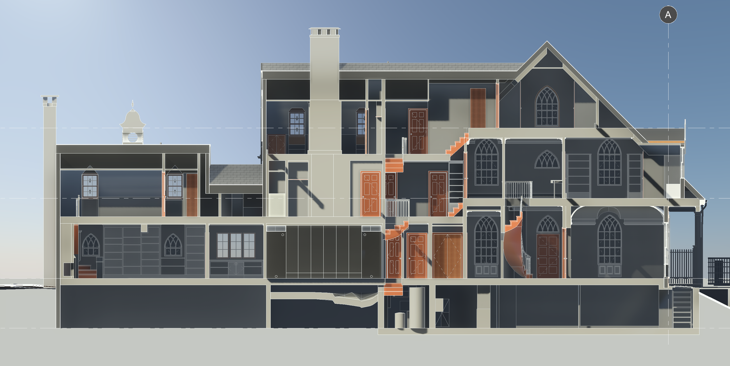
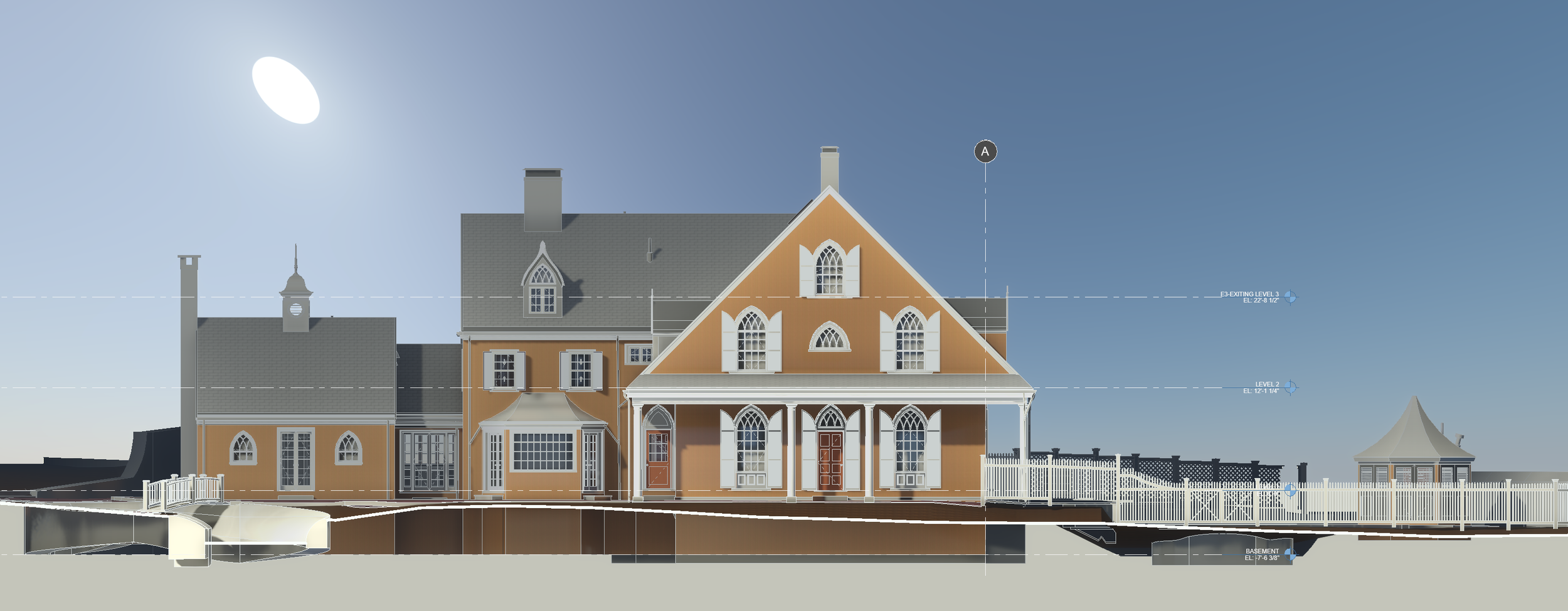
2) Model & document
We convert that data into CAD drawings, PDFs, or BIM models—tailored to your project and workflow.
3) Design with confidence
Teams work from accurate existing conditions, reducing rework, delays, and surprises.
Who we work with
- Architects & Designers
- Homeowners & Property Owners
- Builders & Contractors
- Institutions & Historic Properties
From single-family homes to complex historic and institutional buildings.
Why accurate measurement matters
Inaccurate existing conditions lead to redesigns, delays, and costly field fixes. By capturing reality once—thoroughly and precisely—Pointknown helps teams design faster, coordinate more efficiently, avoid construction surprises, and make better decisions earlier.
This is especially critical for renovations, additions, older buildings, and complex sites.
About this QR code
This sign marks a project where Pointknown is providing professional building measurement and documentation.
Some QR codes link to project-specific pages with more detail. This page offers a general overview of who we are and what we do.
Learn more
Professional building documentation—measured right, from the start.