
Residential | Commerical | Industrial


Historic academic buildings present a unique challenge—tight tolerances, layered construction, and systems that have evolved over decades.
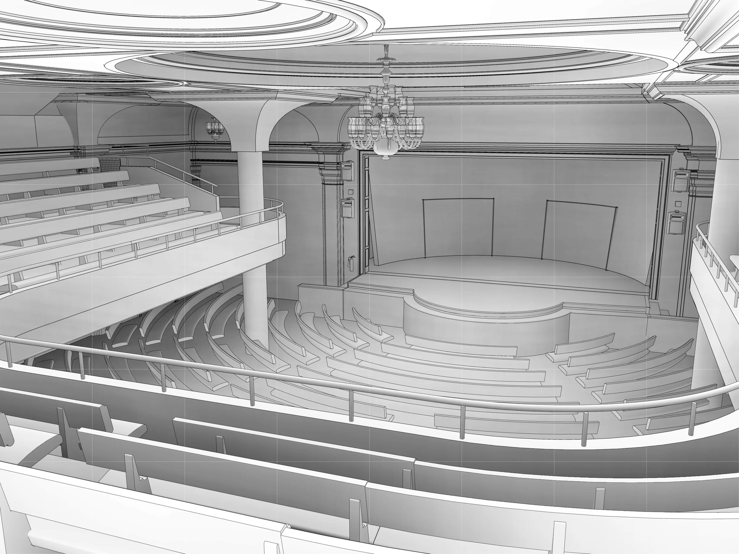
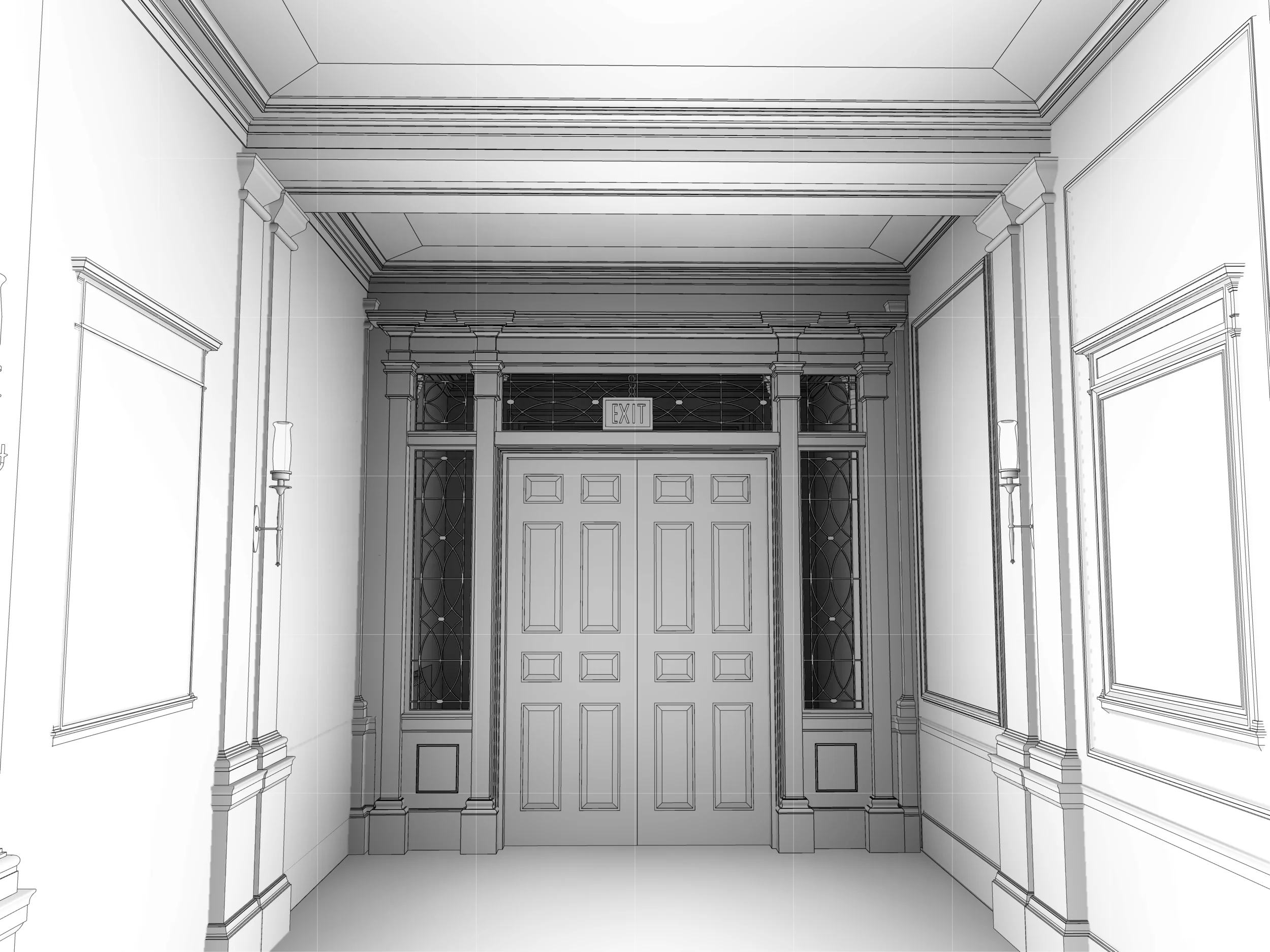
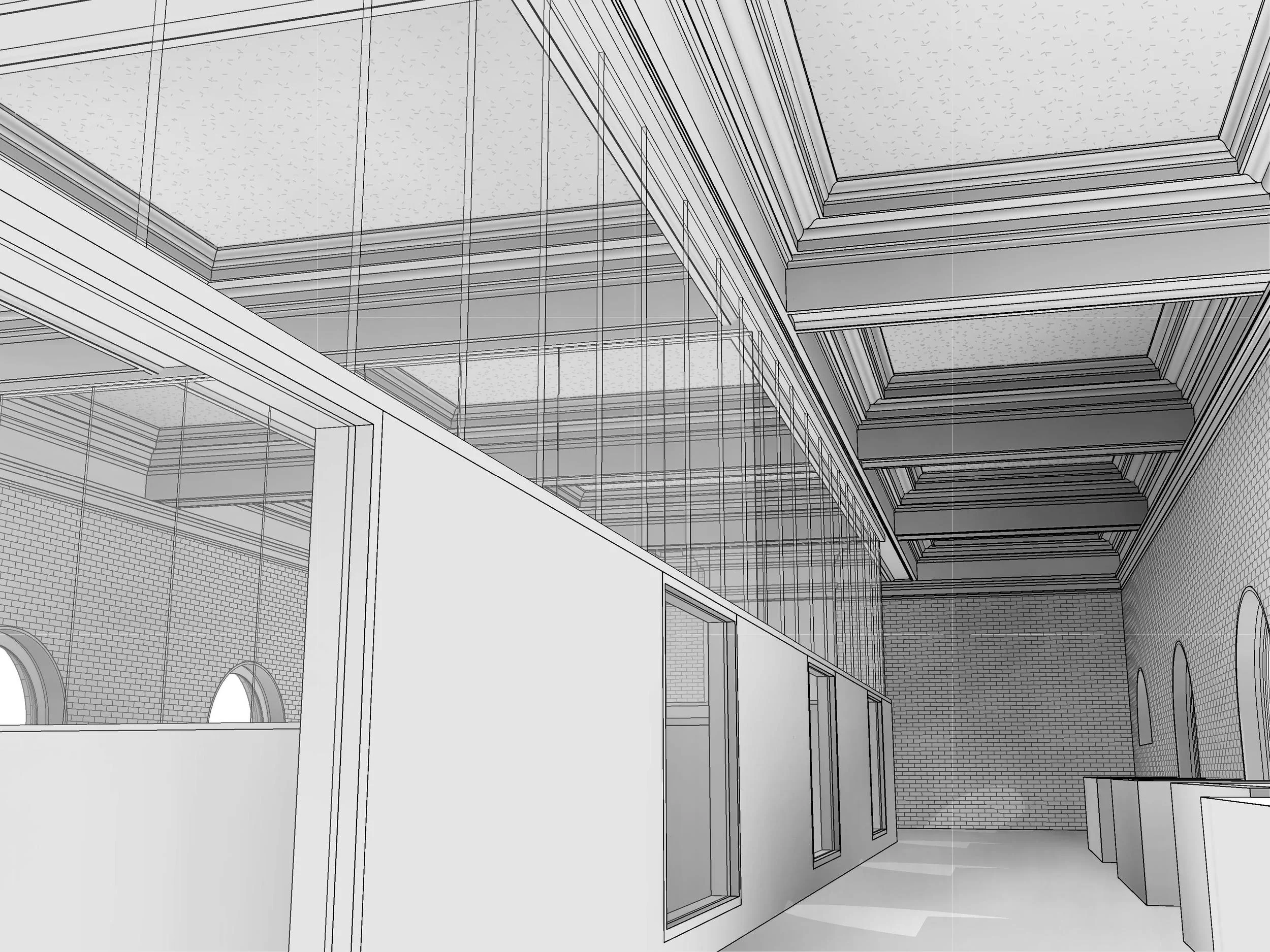
Using terrestrial LiDAR and structured field capture methods, we created a comprehensive digital baseline of both the primary building and its connection to the Frederick Mayer Arts Center.
This model enables design teams to work confidently within an existing structure where precision matters.
Scope of Work
Full exterior terrestrial laser scanning and select interiors.
High-resolution photographic documentation for material and detail reference
Structured field layout capture using PKNail workflows
Scan-to-BIM modeling in Revit
Integration of complex interior geometry and architectural detail
Coordinated modeling across connected building volumes
Why This Matters
Academic institutions rely on accurate existing conditions to plan for long-term upgrades without disrupting daily operations.
Projects like this support:
A) Mechanical and HVAC system upgrades within constrained historic spaces
B) Integration of new infrastructure into legacy building systems
C) Campus-wide planning initiatives that require reliable, consistent building data
By starting with a precise digital model, design teams can evaluate routing, clearances, and system coordination before construction begins.
Approach
This project combined multiple capture strategies to ensure accuracy and usability:
Terrestrial scanning for geometry and structure
Targeted photography to resolve architectural detail
PKNail workflows to support clean, intentional modeling
Revit standards focused on architectural usability—not just visual fidelity
We prioritize models that behave correctly for design teams—clean geometry, correct categories, and coordination-ready outputs.
Deliverables
Revit model of existing conditions
Coordinated floor plans, sections, and elevations
Structured building data suitable for design and engineering workflows
Measured. Results.