
Residential | Commerical | Industrial

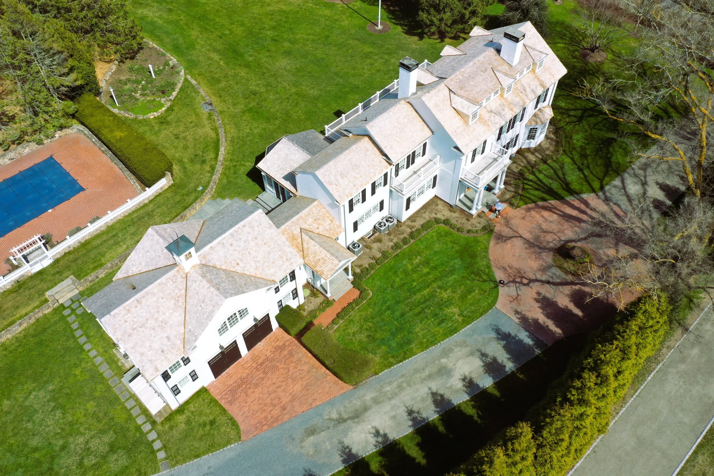


Pease Point Road – Edgartown, Martha’s Vineyard
3D Scanning • LiDAR Mapping • Building Documentation
At Pointknown, we were proud to provide advanced 3D scanning and LiDAR mapping services for a property on Pease Point Road in Edgartown, Martha’s Vineyard. This project required precise building documentation to support future renovations and design planning.
Using state-of-the-art LiDAR technology and reality capture methods, our team created a highly accurate digital model of the structure and surrounding property. The resulting as-built documentation included architectural details, elevations, and site mapping, giving the owners and design team the clarity needed to move forward with confidence.
Why 3D Scanning on Martha’s Vineyard?
Martha’s Vineyard is home to historic homes, waterfront estates, and unique island architecture. Capturing existing conditions accurately is critical—whether for preservation, renovation, or new construction. Traditional field measurements often fall short in speed and detail.
With 3D scanning and LiDAR documentation, we provide:
Complete building documentation – from interiors to exteriors, including site context.
Time and cost savings – reducing the need for repeat site visits and re-measuring.
Digital models ready for architects and builders – delivered in Revit, CAD, or SketchUp formats.
Deliverables for the Edgartown Project
For the Pease Point Road project, we delivered:
A Revit model tailored for architectural design.
2D CAD exports and site drawings.
Photo documentation for visual reference.
This digital record allows architects, contractors, and owners to plan renovations with confidence, knowing they have accurate building documentation of the Edgartown property.
Building Documentation Across Martha’s Vineyard
From Edgartown to Vineyard Haven, Oak Bluffs, Chilmark, and Aquinnah, Pointknown supports projects across Martha’s Vineyard with:
3D Laser Scanning
Mobile LiDAR Mapping
Drone Photography & Aerial Mapping
Comprehensive As-Built Drawings & Revit Models
Whether you’re renovating a historic home or developing new construction, our scanning and mapping services provide the essential foundation.
Ready to Document Your Martha’s Vineyard Property?
Pointknown specializes in 3D scanning, LiDAR, and building documentation throughout Martha’s Vineyard and beyond. Contact us today to discuss your project and see how accurate data can transform the way you design and build.